Blog,
guides and releases
How-tos, release notes and stories from the people drawing contour lines with TopoLines.
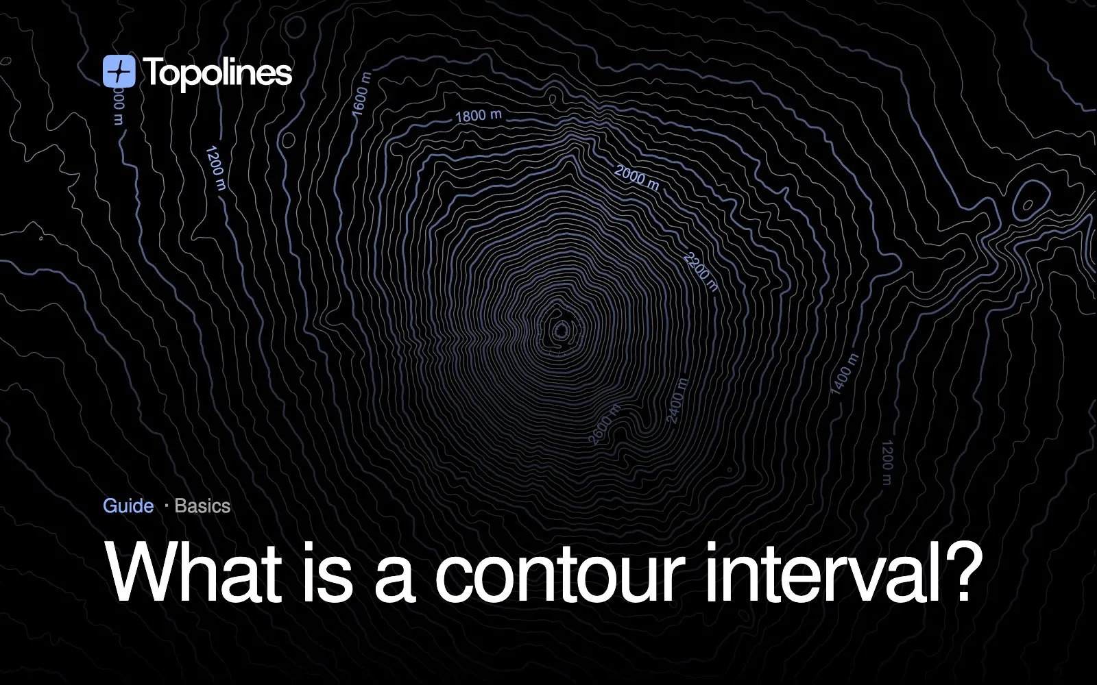
What Is a Contour Interval? How to Find & Calculate It
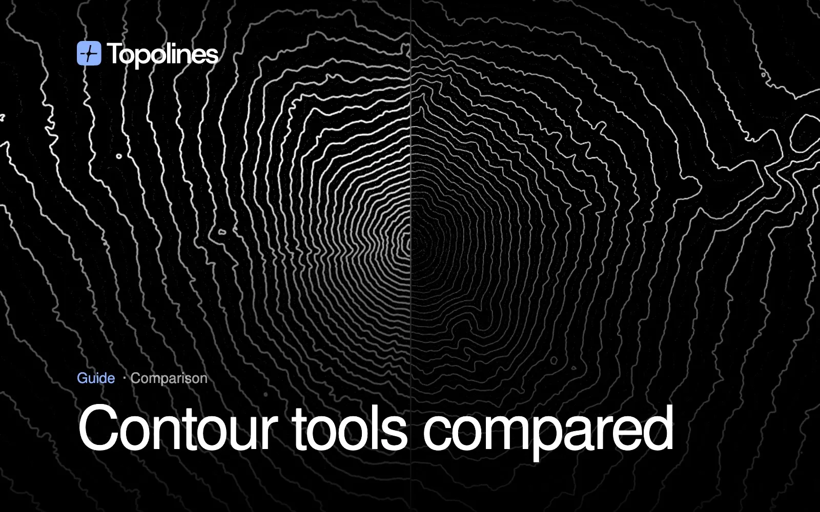
Contour Map Creator vs TopoExport vs TopoLines: Which Contour Tool for Which Job
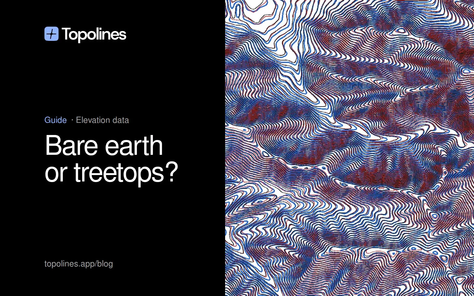
Bare earth or treetops? We tested GEDTM30 against lidar
How to Make Contour Lines in QGIS (Step by Step, and a Faster Way)
TopoLines 2.0: two readings of one terrain
Laser Cut Topographic Map: Make Layered Topo Maps of Any Place

HD terrain data for England, Austria, Switzerland, Italy and Germany

What's new in TopoLines — September 2026
How to Make a Topographic Map in Figma
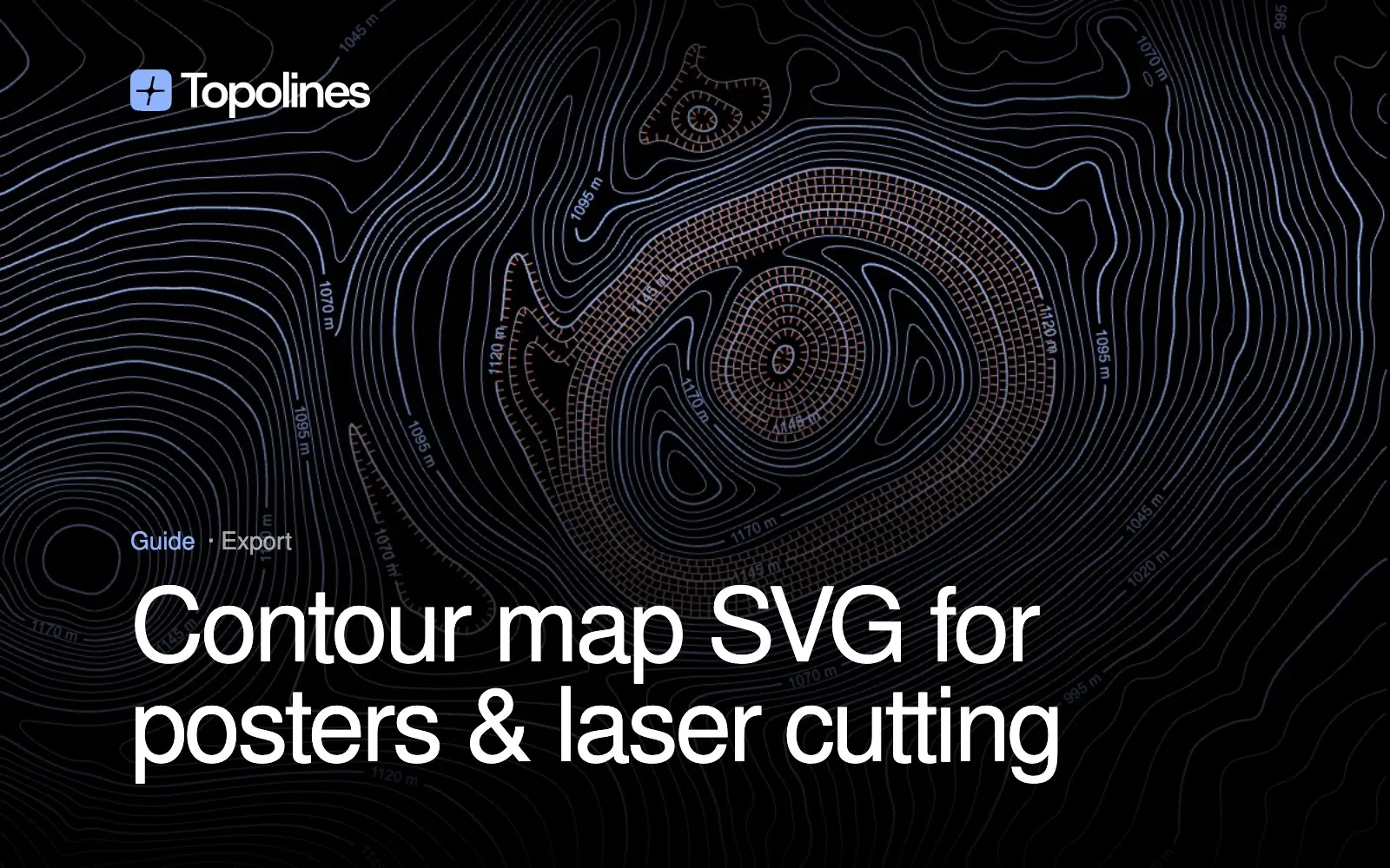
Contour Map SVG: The Right Format for Posters, Laser Cutting and Design

TopoLines scored 8.7/10 on TLguide
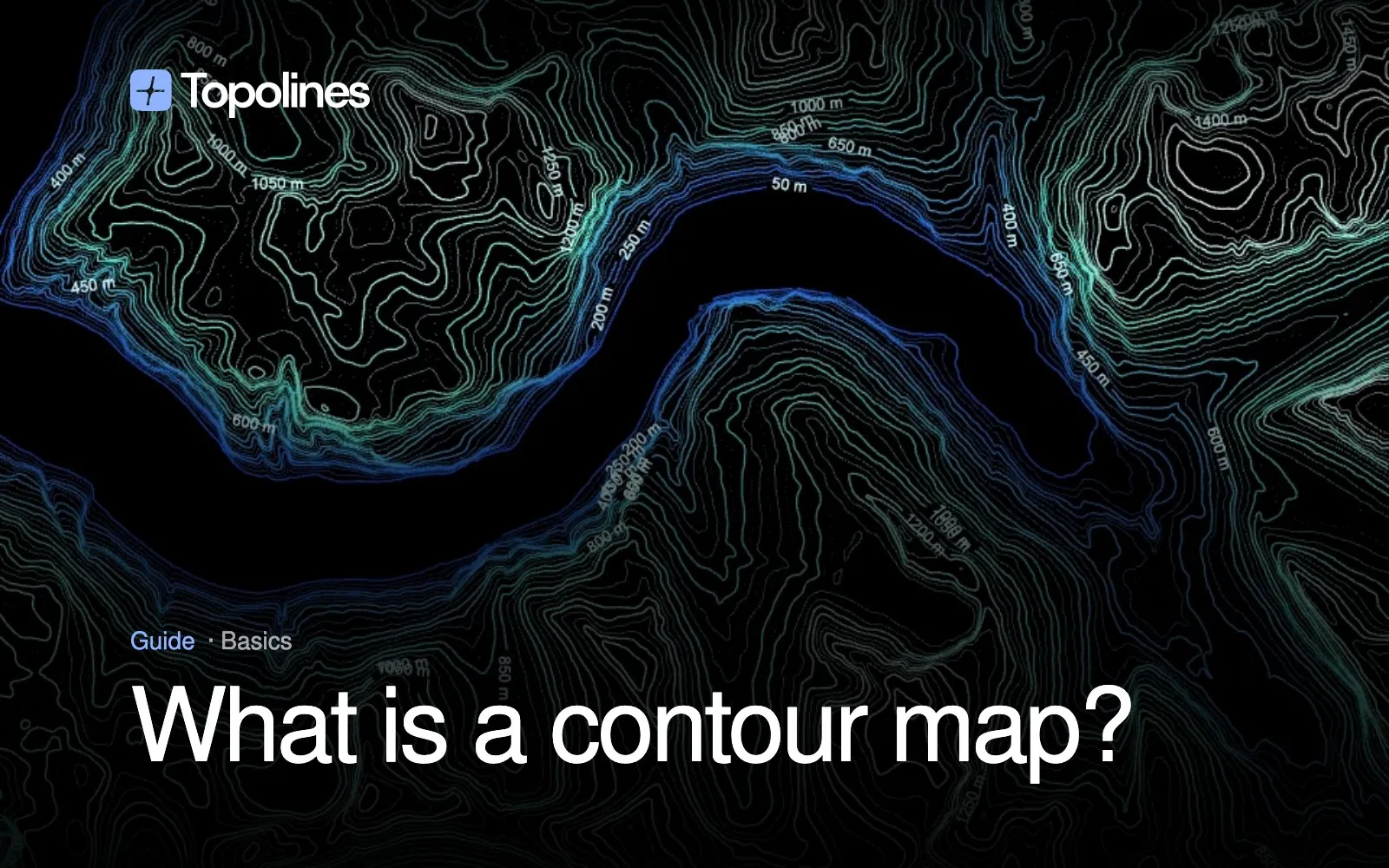
What Is a Contour Map? How to Read Contour Lines (With Examples)
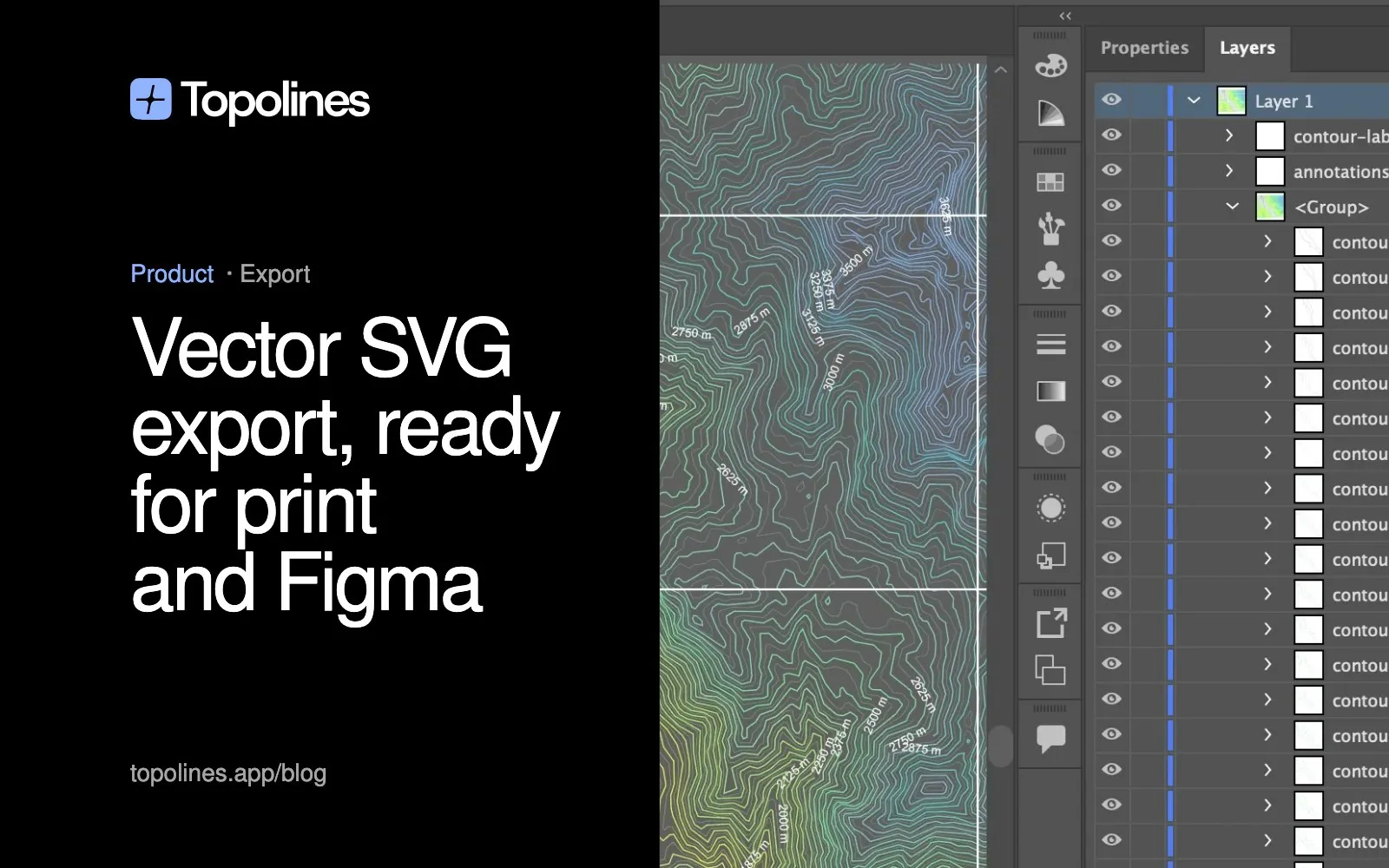
Vector SVG export, ready for print and Figma
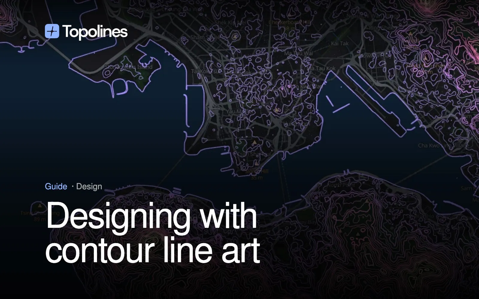
Designing with contour line art
What Is a Contour Interval? How to Find & Calculate It
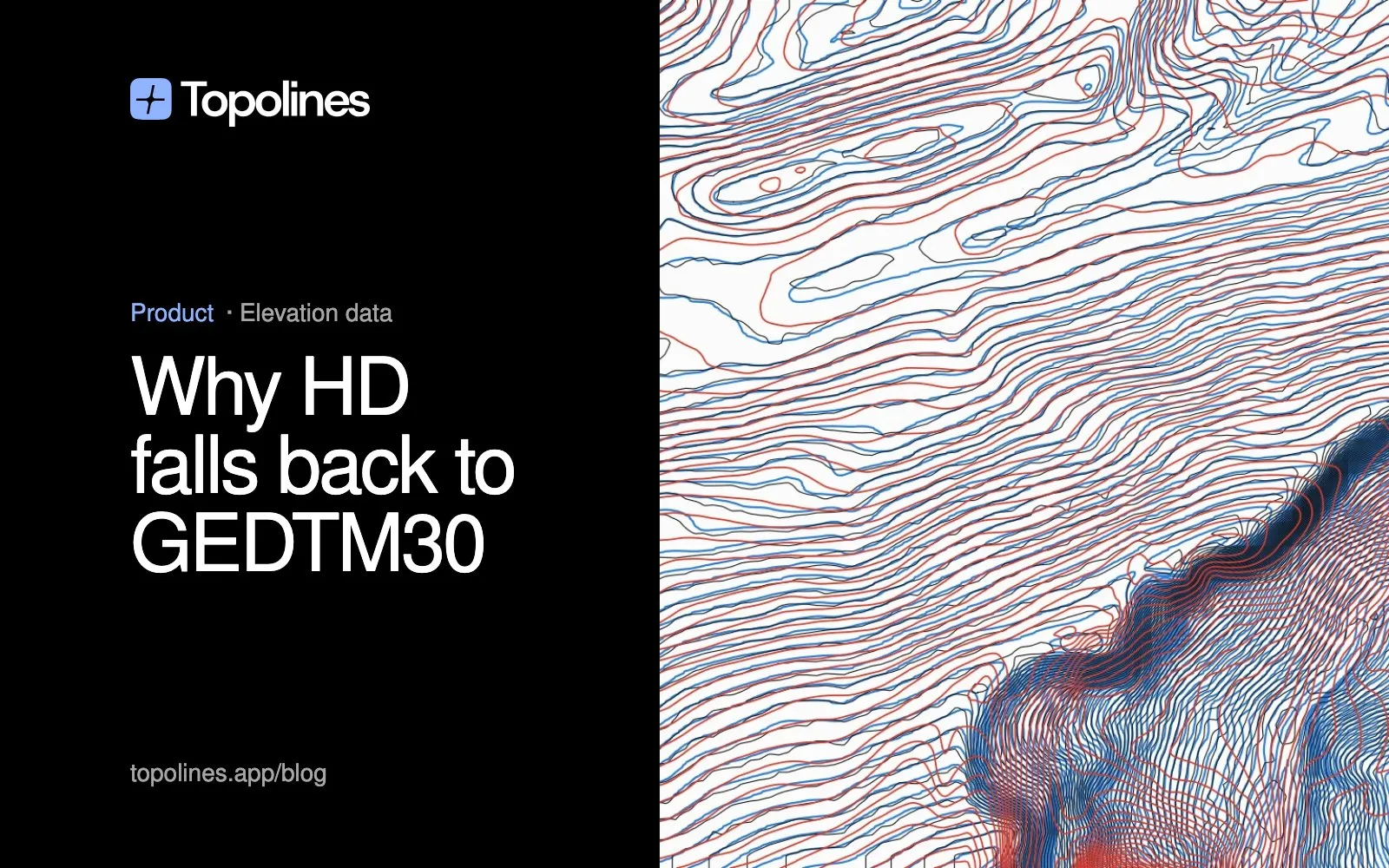
Why HD now falls back to GEDTM30, not "10 m" tiles
How to Draw Contour Lines on a Topographic Map (Step by Step)

Reading nine national terrain models (mostly lidar) over HTTP
Contour Map Creator vs TopoExport vs TopoLines: Which Contour Tool for Which Job
Bare earth or treetops? We tested GEDTM30 against lidar
How to Make Contour Lines in QGIS (Step by Step, and a Faster Way)
TopoLines 2.0: two readings of one terrain
Laser Cut Topographic Map: Make Layered Topo Maps of Any Place
HD terrain data for England, Austria, Switzerland, Italy and Germany
What's new in TopoLines — September 2026
How to Make a Topographic Map in Figma
Contour Map SVG: The Right Format for Posters, Laser Cutting and Design
TopoLines scored 8.7/10 on TLguide
What Is a Contour Map? How to Read Contour Lines (With Examples)
Vector SVG export, ready for print and Figma