DEM to
contour lines, online
Upload a georeferenced GeoTIFF and export its contours as DXF, GeoJSON or SVG. No GIS to install.




Your DEM,
traced in the browser
 TopoLines
Upload, draw a zone, export. Your raster never leaves the server.
What's in
the file
- 01
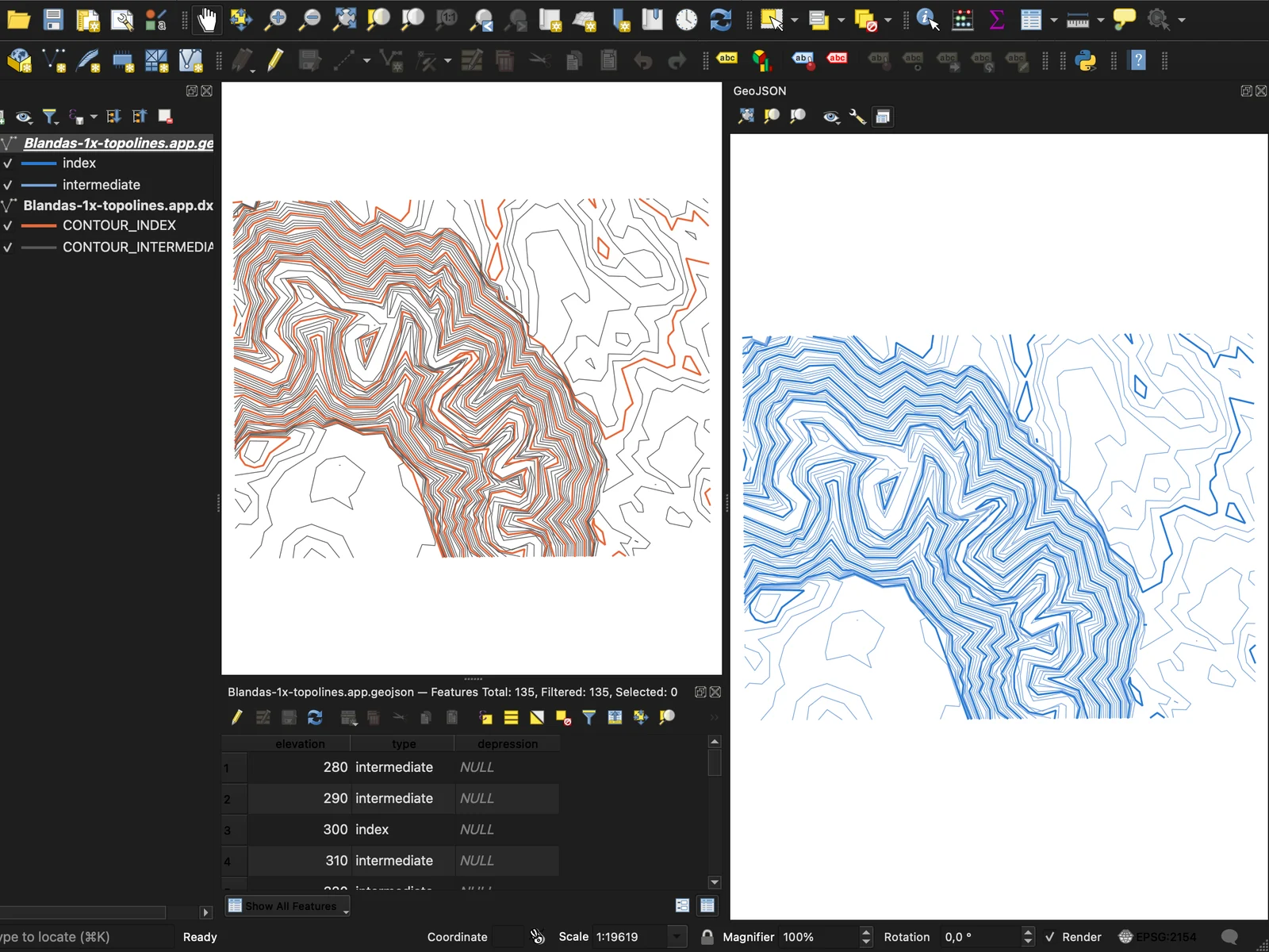
Contours at height
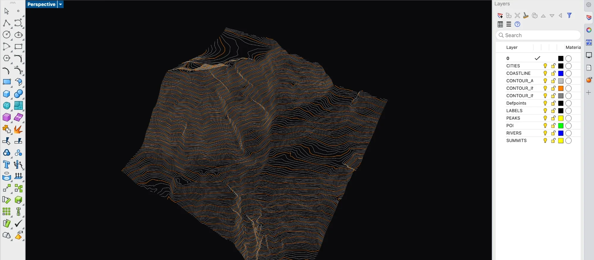
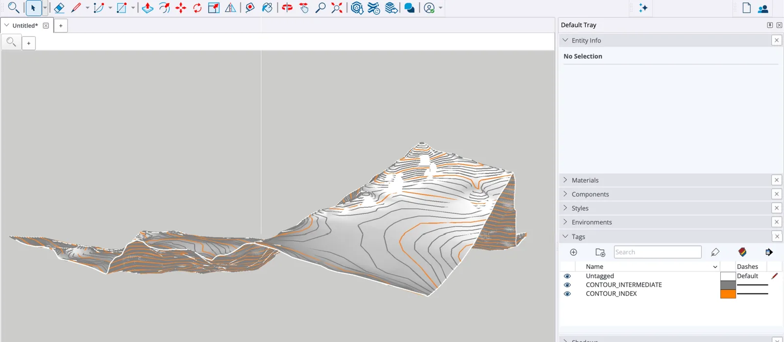
DXF with 3D polylines, GeoJSON with elevation and type on every feature.
- 02
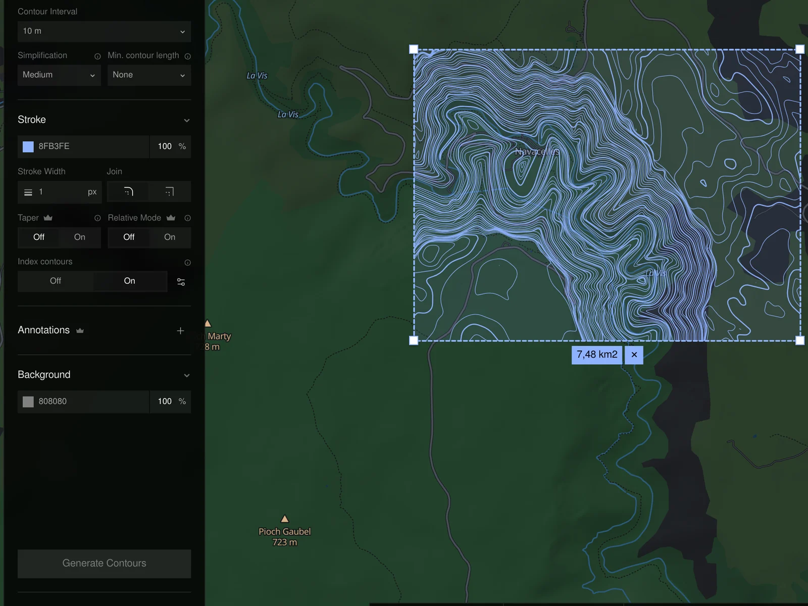
The GDAL contour step
Interval, index contours, simplification and a minimum length to drop noise.
- 03
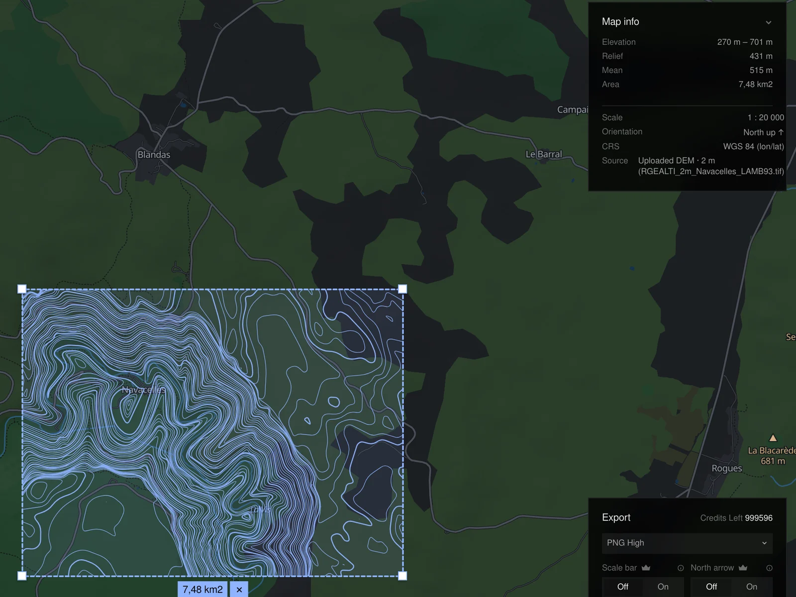
In your coordinate system
UTM, Lambert-93, British National Grid… or WGS 84.
- 04
Nothing shared
The raster is traced on the server. Only the contours come back.
From map
to file
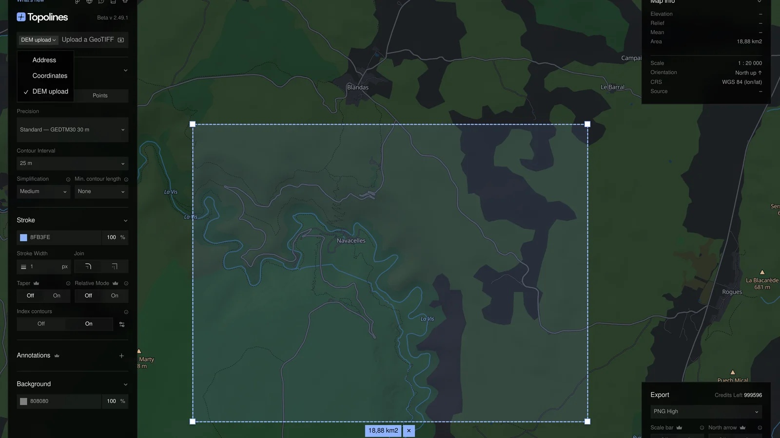
A georeferenced GeoTIFF up to 200 MB. The map moves to its footprint.
From 5 to 100 m, with index contours. The preview redraws as you go.
GeoJSON for GIS, DXF for CAD, SVG for design.
No DEM?
Use ours
Draw a zone anywhere: the finest open model covering it is traced instead.
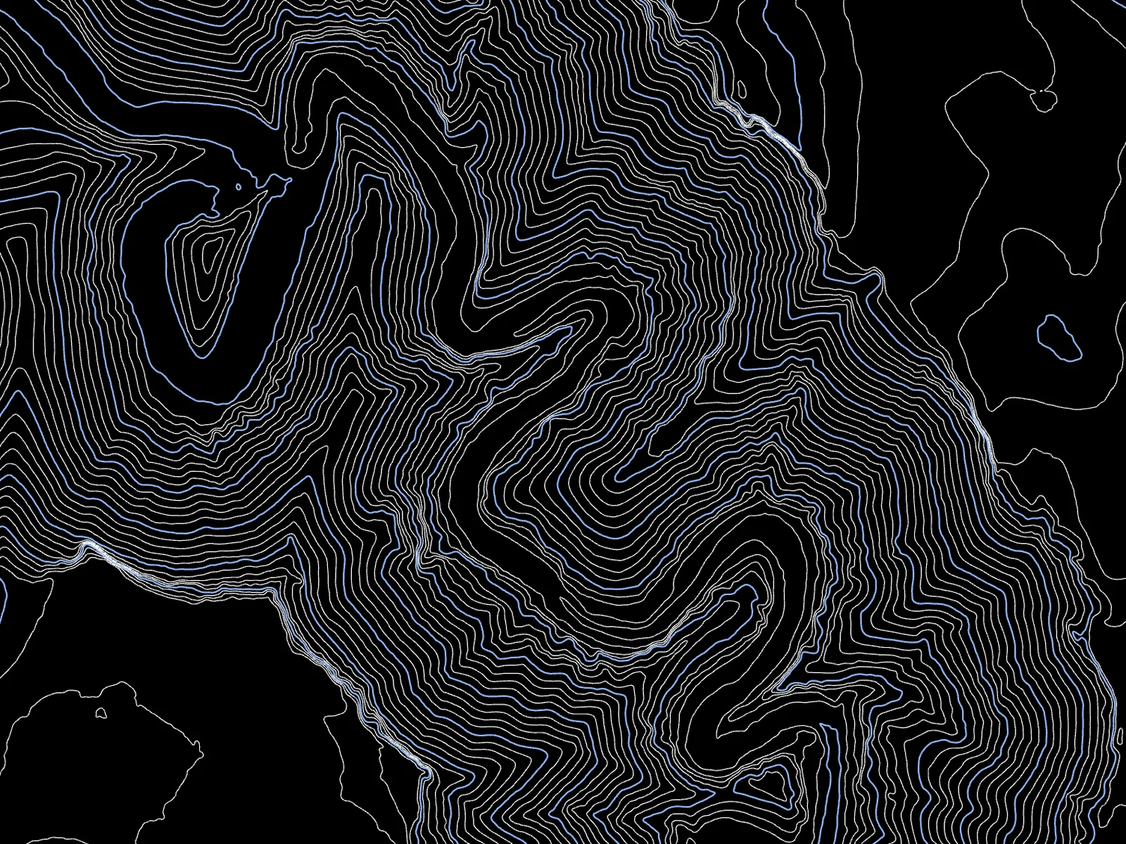
National lidar. France, US, Switzerland, England and more, down to 1 m.
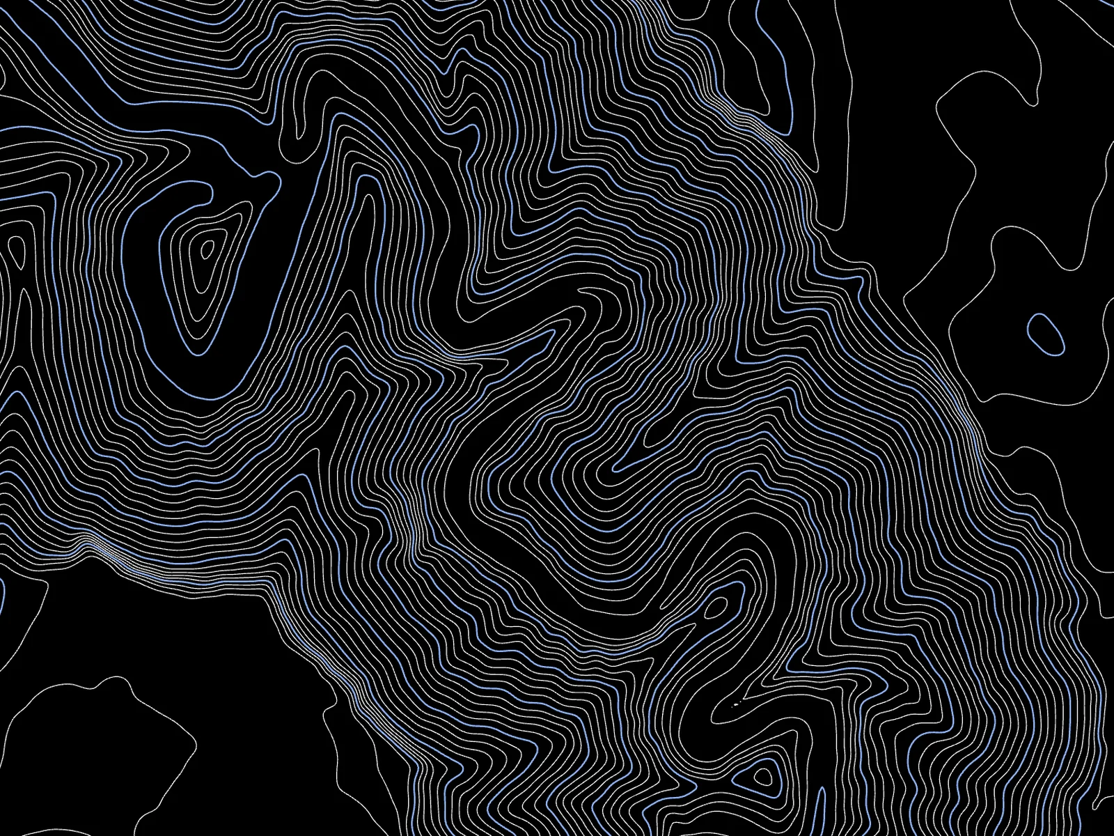
Sized to the zone. Finest on small zones, coarser on large ones, picked for you.
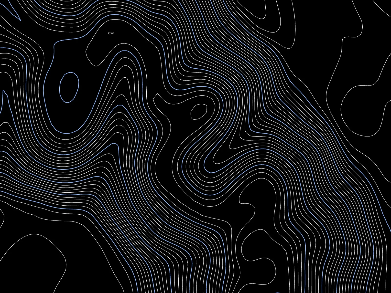
30 m bare earth. GEDTM30 everywhere else, ground under the trees.
Elevation data
Sharper
where the data is
National 5–10 m models where they exist, a global bare-earth model everywhere else.
Bare earth first
Contours follow the ground, not treetops or rooftops.
Picked for your zone
Auto reads the finest source covering the whole zone.
Bring your own
Upload a georeferenced GeoTIFF and trace it like any zone.
Credited in the file
Source and licence are written into every export.
Frequently asked questions
Formats, coordinates, data and pricing. More in the exports documentation.
Which DEM files can I upload?
A georeferenced GeoTIFF (.tif or .tiff) up to 200 MB: a lidar DTM from a national portal, a drone survey, or any elevation raster. Uploading is a Pro feature.
What do I get back?
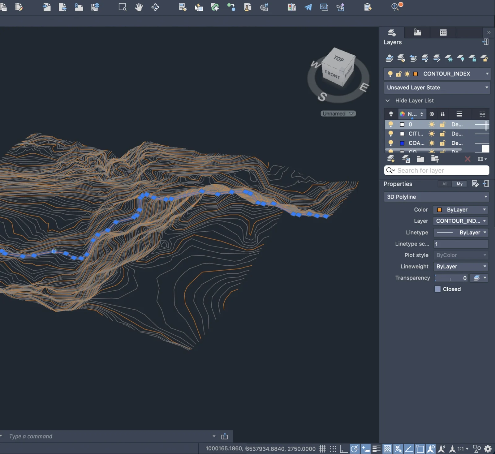
Contour lines as DXF (3D polylines on layers), GeoJSON (each feature with its elevation and type: index, intermediate, auxiliary, coastline), SVG grouped by elevation, or PNG.
Is my DEM shared or stored publicly?
No. The raster stays on the server to be traced; only the contours you export leave it.
How does it compare with gdal_contour or QGIS?
It covers the same contour step: interval, index contours, simplification, minimum length and reprojection, without installing anything. For analysis beyond contours, a full GIS is still the right tool.
Is the export free?
No. The free account exports PNG; DXF, GeoJSON and SVG cost 1 credit for a zone under 10 km² (3 with national lidar). Packs start at €5 for 20 credits, never expire, no subscription.
What can't it do?
Replace a survey. The finest interval is 5 m, and the contours come from bare-earth terrain models: accurate to within a few decimetres to about a metre with national lidar, to a few metres with the 30 m worldwide model. A vector export covers up to 500 km² per zone.