TopoLines docs
How the editor works: render modes, cartographic options, exports and elevation data. For account and Figma plugin questions, see the help center.
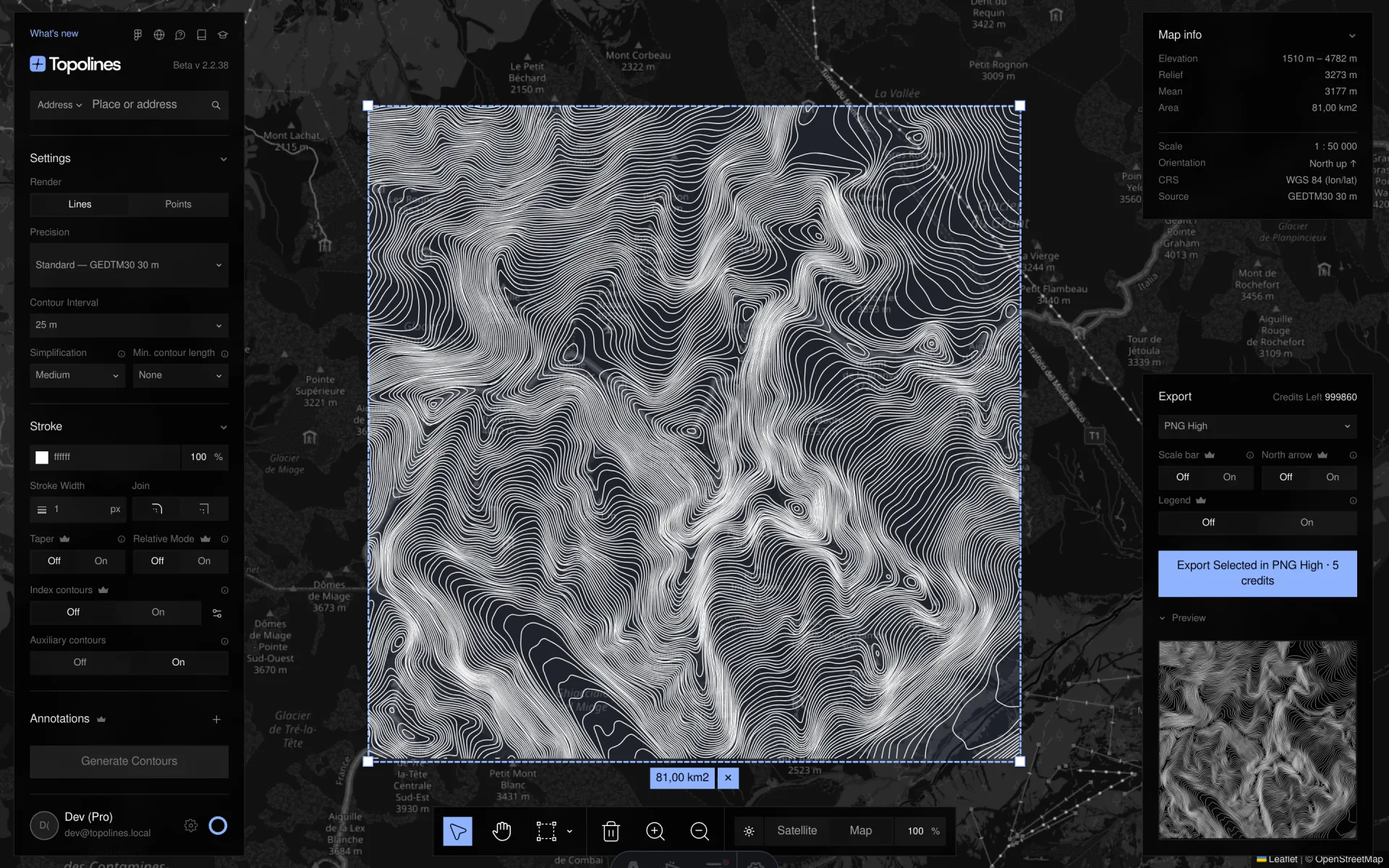
- Render modes: Lines and Points How the Lines and Points render modes read the same elevation data, what every Points control does, and which settings update live. Read →
- Cartographic options Auxiliary and depression contours, the minimum contour length filter, contour labels, Imhof gradient presets, and the scale bar, north arrow and legend on exports. Read →
- Exports & plans Every export format TopoLines produces — PNG, SVG, GeoJSON and DXF — what the free plan includes, and how credits are counted. Read →
- Elevation data Where TopoLines gets its terrain: GEDTM30 30 m worldwide, 10 m GeoTIFF, national 5–10 m lidar models for France, the United States and Spain, and your own GeoTIFF. Read →