Contour lines
for SketchUp
Download real contours as a DXF, import them into SketchUp Pro and build the terrain with Sandbox.
Real terrain,
in one import
 SketchUp
Every contour at its elevation, ready for Sandbox › From Contours.
What's in
the file
- 01
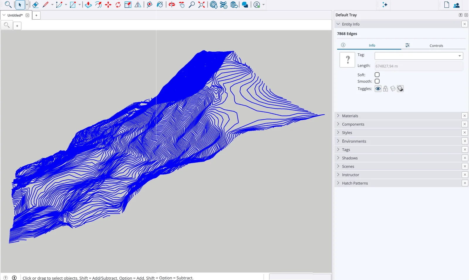
At their real height
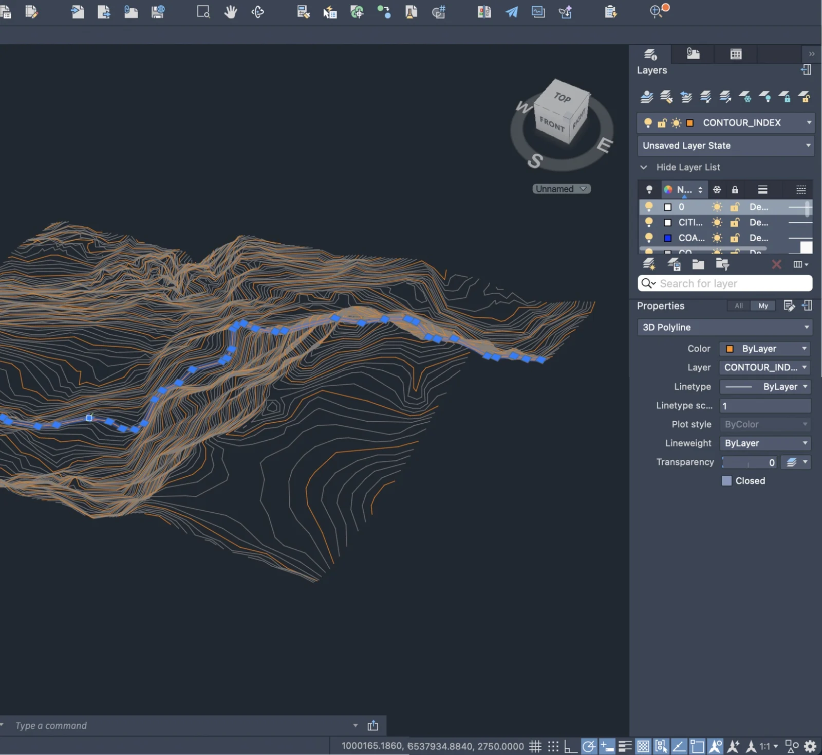
Every contour is a 3D polyline, with its elevation on each vertex.
- 02
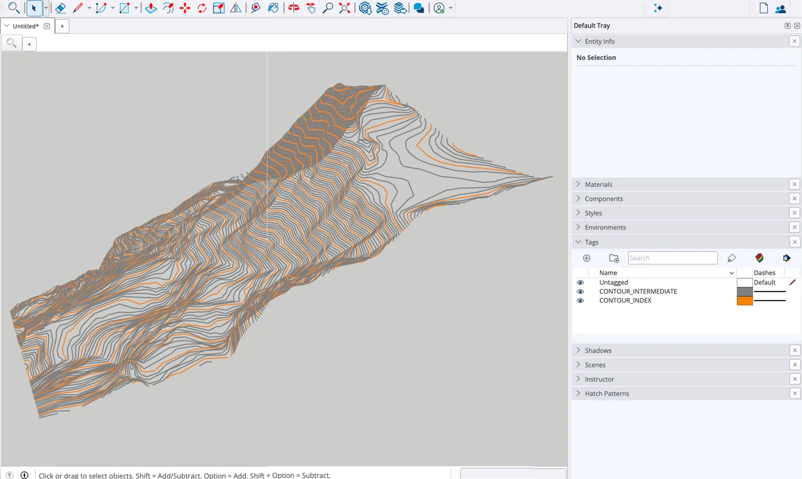
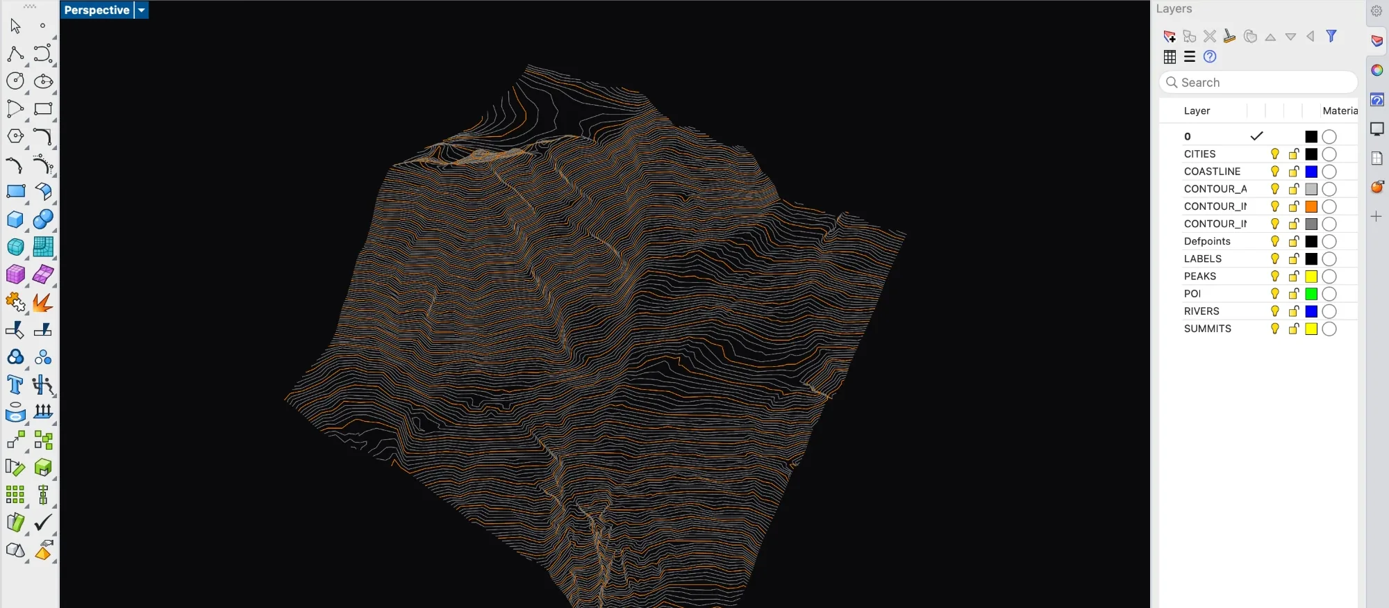
One layer per type
Index, intermediate, half-interval and coastline, ready to freeze or recolour.
- 03
In your coordinate system
UTM, Lambert-93, British National Grid… X, Y and Z all in metres.
- 04
Source in the file
Dataset, licence, interval and CRS in the header. R12, read by every CAD app.
999
TopoLines (https://topolines.app)
999
generated 2026-11-05T09:56:26.874935+00:00
999
contour interval 10
999
CRS EPSG:2154 — RGF93 / Lambert-93
999
author TopoLines
999
terrain IGN RGE ALTI 2 m
999
attribution Elevation: © IGN — RGE ALTI® (Etalab 2.0)
  0
SECTION
  2
HEADER
  9
$ACADVER
  1
AC1009
999
TopoLines (https://topolines.app)
999
generated 2026-11-05T09:56:26.874935+00:00
999
contour interval 10
999
CRS EPSG:2154 — RGF93 / Lambert-93
999
author TopoLines
999
terrain IGN RGE ALTI 2 m
999
attribution Elevation: © IGN — RGE ALTI® (Etalab 2.0)
  0
SECTION
  2
HEADER
  9
$ACADVER
  1
AC1009
From map
to file
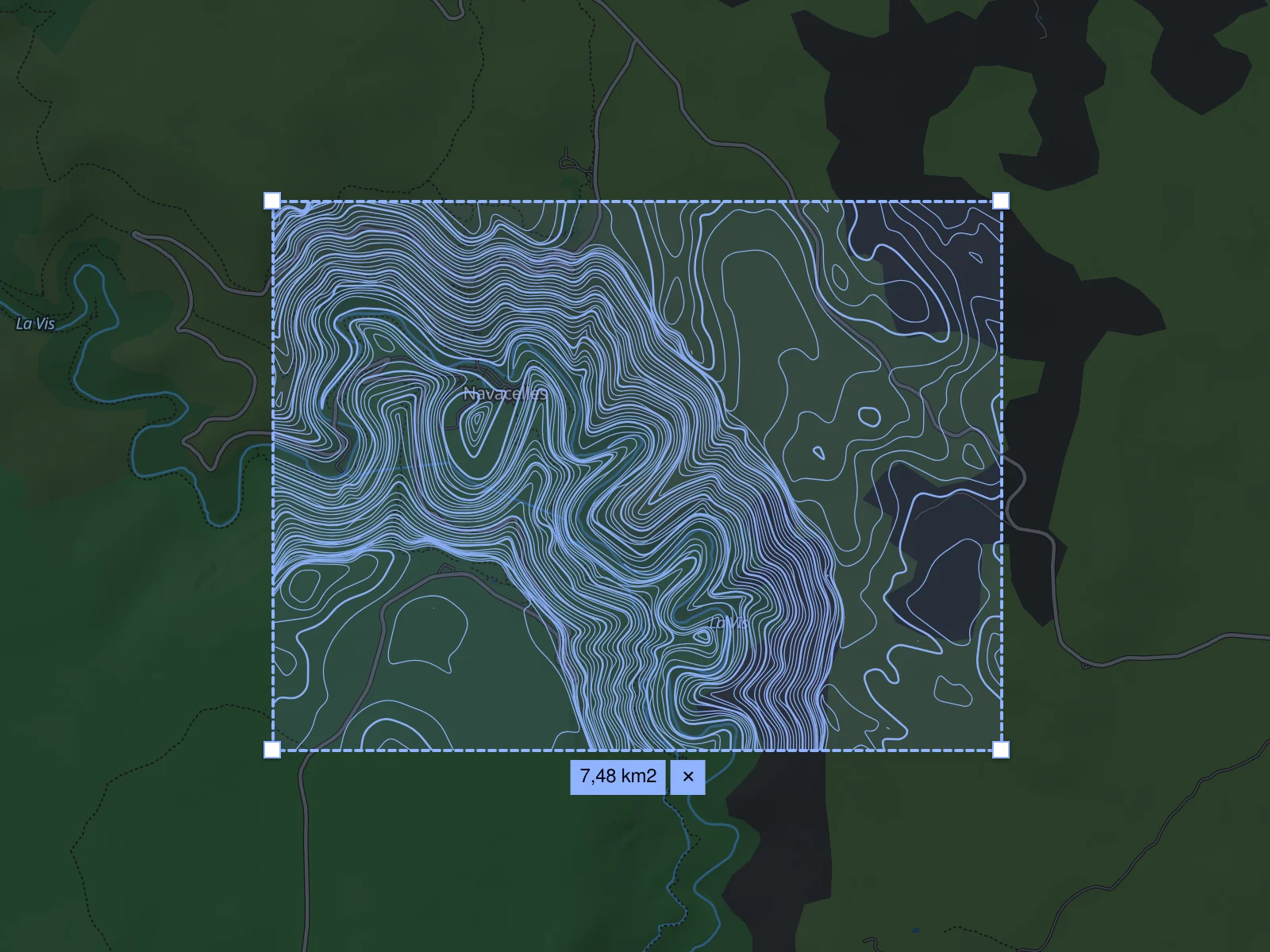
Search a place or coordinates and frame the zone. The finest open data covering it is picked for you.
From 5 to 100 m, with an index contour every Nth line. The preview redraws as you go.
Pick DXF and a metric coordinate system, then download.
In SketchUp
contours to terrain
DXF import needs SketchUp Pro on the desktop.
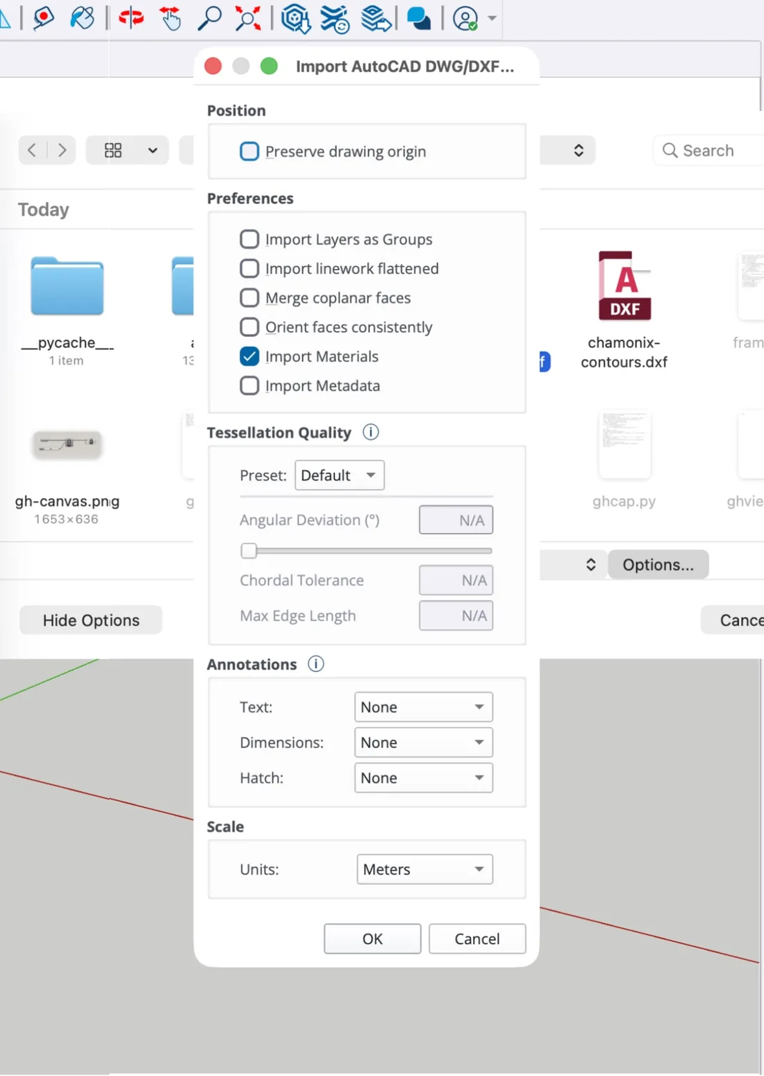
Import. AutoCAD file type, units in metres, drawing origin not preserved.
Select the contours. They arrive as edges at their height.
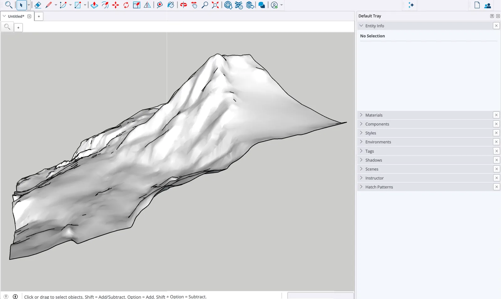
From Contours. Sandbox turns them into a terrain mesh.
Elevation data
Sharper
where the data is
National 5–10 m models where they exist, a global bare-earth model everywhere else.
Bare earth first
Contours follow the ground, not treetops or rooftops.
Picked for your zone
Auto reads the finest source covering the whole zone.
Bring your own
Upload a georeferenced GeoTIFF and trace it like any zone.
Credited in the file
Source and licence are written into every export.
Frequently asked questions
Formats, coordinates, data and pricing. More in the exports documentation.
Can SketchUp Free import the contours?
No. Importing DXF files needs SketchUp Pro on the desktop. With SketchUp Free, you can still trace over a PNG export used as an image.
Why do the contours appear at different heights?
Because they are 3D polylines: each contour sits at its real elevation. That is what lets Sandbox › From Contours build the terrain without any manual step.
The model appears far from the origin. Why?
A metric coordinate system puts the site at real-world coordinates, often hundreds of kilometres from 0,0. Untick “Preserve drawing origin” in the import options.
What contour interval suits a SketchUp model?
For a building site, 5 m with lidar data. For a valley or a masterplan, 10 or 25 m keeps the mesh light enough to orbit smoothly.
Is the export free?
No. The free account exports PNG; DXF, GeoJSON and SVG cost 1 credit for a zone under 10 km² (3 with national lidar). Packs start at €5 for 20 credits, never expire, no subscription.
What can't it do?
Replace a survey. The finest interval is 5 m, and the contours come from bare-earth terrain models: accurate to within a few decimetres to about a metre with national lidar, to a few metres with the 30 m worldwide model. A vector export covers up to 500 km² per zone.