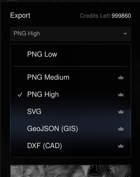
Pick a format in the export menu under the panel, then Export Selected. Every format is rendered on the server from the traced zone; what you download is always built from the settings on screen at the moment you export.
Formats
| Format | Size | Plan | Best for |
|---|---|---|---|
| PNG Low | 1024 px wide | Free | Quick use, social posts, previews |
| PNG Medium | 2048 px wide | Pro | Print up to A4, slides |
| PNG High | 3200 px wide | Pro | Large prints, posters |
| SVG | Vector | Pro | Design tools (Figma, Illustrator), laser cutting |
| GeoJSON | Vector, georeferenced | Pro | GIS (QGIS, ArcGIS, web maps) |
| DXF | Vector | Pro | CAD, CNC and laser cutting |
- SVG groups contours by elevation. The Flatten option merges them into one path for lighter files.
- GeoJSON and DXF can be written in another coordinate system: WGS 84,
Lambert-93, UTM (zone picked automatically), Web Mercator or British National
Grid. GeoJSON properties carry each contour’s elevation and type (
index,intermediate,auxiliary,coastline); DXF puts each type on its own layer. - The PNG and vector files embed the elevation source and its attribution.
Exports in Points mode
PNG and SVG exports draw the glyph field exactly as in the preview, at every size. GeoJSON and DXF always contain the contour lines of the zone: the point field is a rendering of the elevation, not vector data you’d edit in GIS or CAD.
Free vs Pro
Free (sign in with Google or GitHub): Lines and Points, colour and stroke styling, zones up to 100 km², GEDTM30 30 m elevation, contour interval of 25 m and above, index contours, and the PNG Low export.
Pro (credit packs, no subscription): SVG, GeoJSON, DXF and HD PNG exports, 10 m and national 5 m elevation, zones up to 2000 km² (500 km² for vector exports), 5 and 10 m intervals, gradients, taper, relative mode, contour labels, annotations, scale bar, north arrow and legend, several zones and batch export, and uploading your own elevation model.
Points follows the same rule as Lines: free to try and to export as a standard PNG, paid for HD and vector. There is no separate Points plan.
How credits are counted
Paid exports cost credits, charged once per export. The cost depends only on the zone area and the elevation resolution — never on the format or the render mode:
| Zone area | Standard (30 m) | HD (5–10 m) |
|---|---|---|
| Under 10 km² | 1 credit | 3 credits |
| 10–50 km² | 2 credits | 5 credits |
| Over 50 km² | 5 credits | 15 credits |
The cost is shown before you confirm. Credits never expire — see Pricing.
Last updated 28 September 2026