
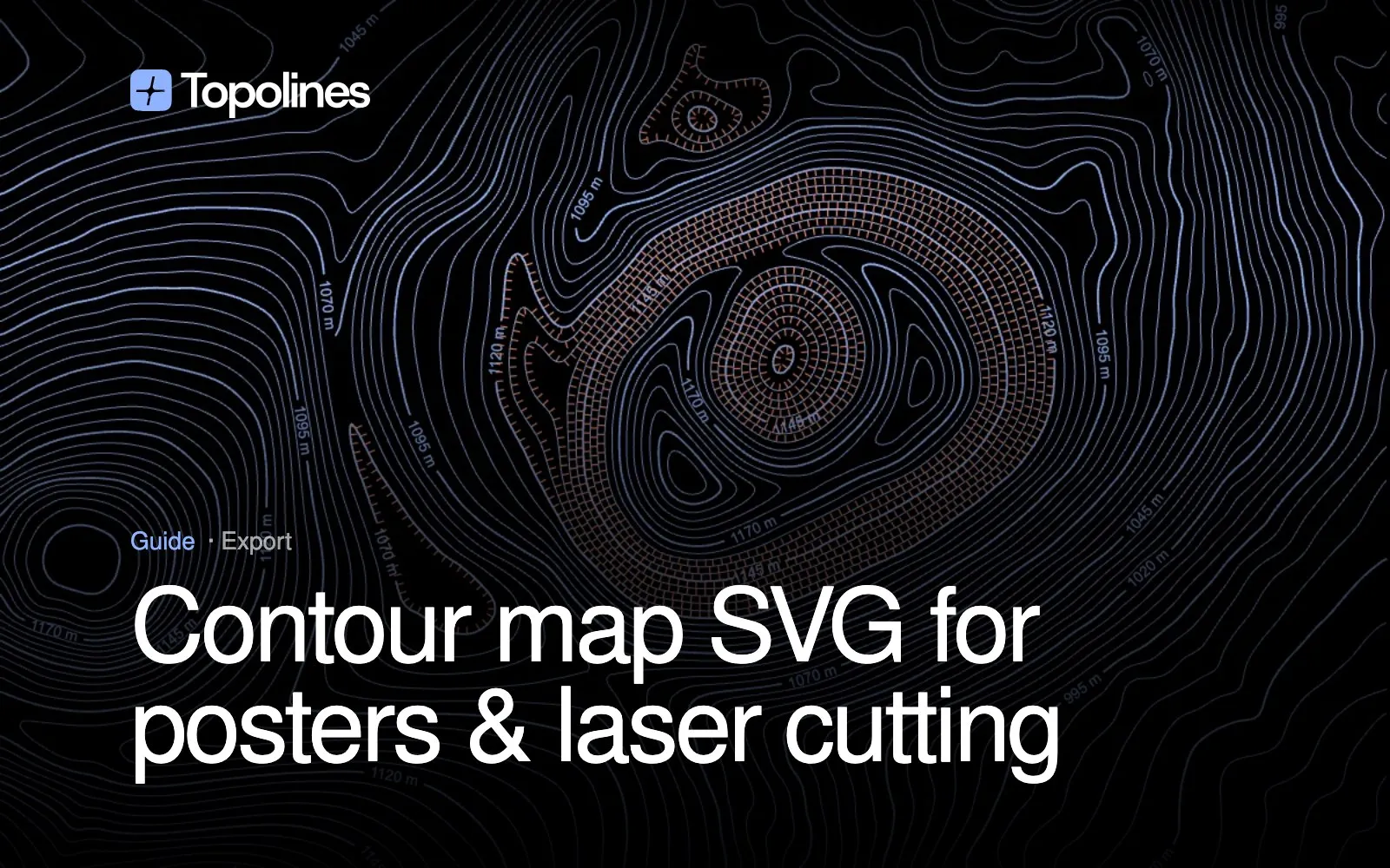
Contour map tools export in a lot of formats — PNG, SVG, DXF, DWG, KMZ, Shapefile, GeoJSON. Most of those exist for engineers and GIS workflows. If you’re making a contour map for design — a poster, a laser-cut piece, a brand asset, an editable Figma or Illustrator file — SVG is almost always the right one. This guide covers why, and what separates a genuinely useful contour SVG from a technically-valid-but-useless one.
Why SVG for design work
A contour map SVG stores the lines as vector paths — real geometry, not pixels. That has two consequences that matter for design:
- It scales to any size with zero quality loss. A PNG locks you into its export resolution; blow it up for a large-format poster and the lines soften and pixelate. An SVG describes the curves mathematically, so a business card and a wall-sized print are drawn from the exact same file.
- It stays editable. Recolor, restroke, or delete individual lines after the fact, directly in Figma, Illustrator, or any vector editor — no re-exporting from the original tool required.
SVG vs the GIS formats (DXF, DWG, KMZ, Shapefile)
If you’ve used a contour tool built for engineers or surveyors, you’ve probably seen a wall of export options: DXF and DWG for CAD software, KMZ for Google Earth, Shapefile and GeoJSON for GIS platforms. Those formats matter if you’re doing site planning, civil engineering or spatial analysis — but they carry georeferencing data and layer conventions a design tool doesn’t need, and most design software can’t open them directly anyway.
Rule of thumb: if the map’s final destination is a screen, a print, or a design file, SVG is what you want. Reach for DXF/DWG/Shapefile only if the next step is CAD or GIS software specifically.
What makes a contour SVG actually usable
Not every SVG export is equally useful once you open it. A well-built one is:
- Grouped by elevation band, so every line at the same height shares one style — recolor an entire elevation range in one click instead of selecting hundreds of individual paths.
- Clean paths, not thousands of tiny fragmented segments — keeps file size sane and makes the shapes easy to select and edit.
- Consistent stroke attributes (width, join style) set at export time, so the file opens already styled instead of needing cleanup before it’s usable.
This is the difference between an SVG you can actually work with in Figma or Illustrator and one that’s technically an SVG but painful to touch.
Contour maps for laser cutting and CNC
Vector contour lines are a natural fit for laser cutting and CNC engraving — topographic layered art (each elevation band cut from a separate sheet and stacked) is a common maker/woodworking project. For that workflow:
- Keep the contour interval wide enough that each elevation band is a clean, cuttable shape rather than dozens of thin slivers.
- Turn off any stroke tapering or gradient styling — laser software wants flat vector paths, not variable-width strokes.
- Export at the real-world scale you’ll cut at, so you’re not rescaling (and distorting relative layer thickness) afterward.
The full step-by-step build — interval, layer count, closing the edge shapes, stacking — is in contour maps for laser cutting.
How to export a contour map SVG
- Draw your zone and set the contour interval — wider intervals produce fewer, larger, more cuttable shapes; tighter intervals produce more detail.
- Style the stroke — solid color, or an elevation gradient if you want height encoded in color as well as position.
- Pick SVG in the export panel and export. The file is layered by elevation and ready to open directly in Figma, Illustrator or your laser software.
For the full location-to-map workflow, see the contour map generator; for a broader look at composing contour art, see designing with contour line art.
FAQ
Should I export PNG or SVG? PNG for a quick raster image or social post. SVG for anything printed large, laser-cut, or edited further — it won’t lose quality at any size.
Can I open a contour map SVG in Illustrator or Figma? Yes, directly — SVG is a native vector format both support. A well-structured export (grouped by elevation, clean paths) is what makes it pleasant to edit once it’s open, rather than just technically possible.
Is SVG good for laser cutting? Yes, it’s the standard input format for most laser and CNC software. Use a wider contour interval and flat (non-tapered) strokes so each layer is a clean cuttable shape.
What’s the difference between SVG and DXF for a contour map? SVG is a general vector graphics format built for screens, print and design tools. DXF is a CAD interchange format carrying georeferencing and layer conventions GIS/engineering software expects. Use SVG for design work, DXF if your next step is genuinely CAD software.
Does a contour map SVG stay editable after export? Yes — it’s vector paths, not a flattened image, so you can recolor, restyle or delete lines afterward in any vector editor.
Get a print-ready, editable contour SVG from any place. Start free →