Topographic map
of Andorra
Pyrenees, Andorra — 100 m contours over bare-earth elevation data.
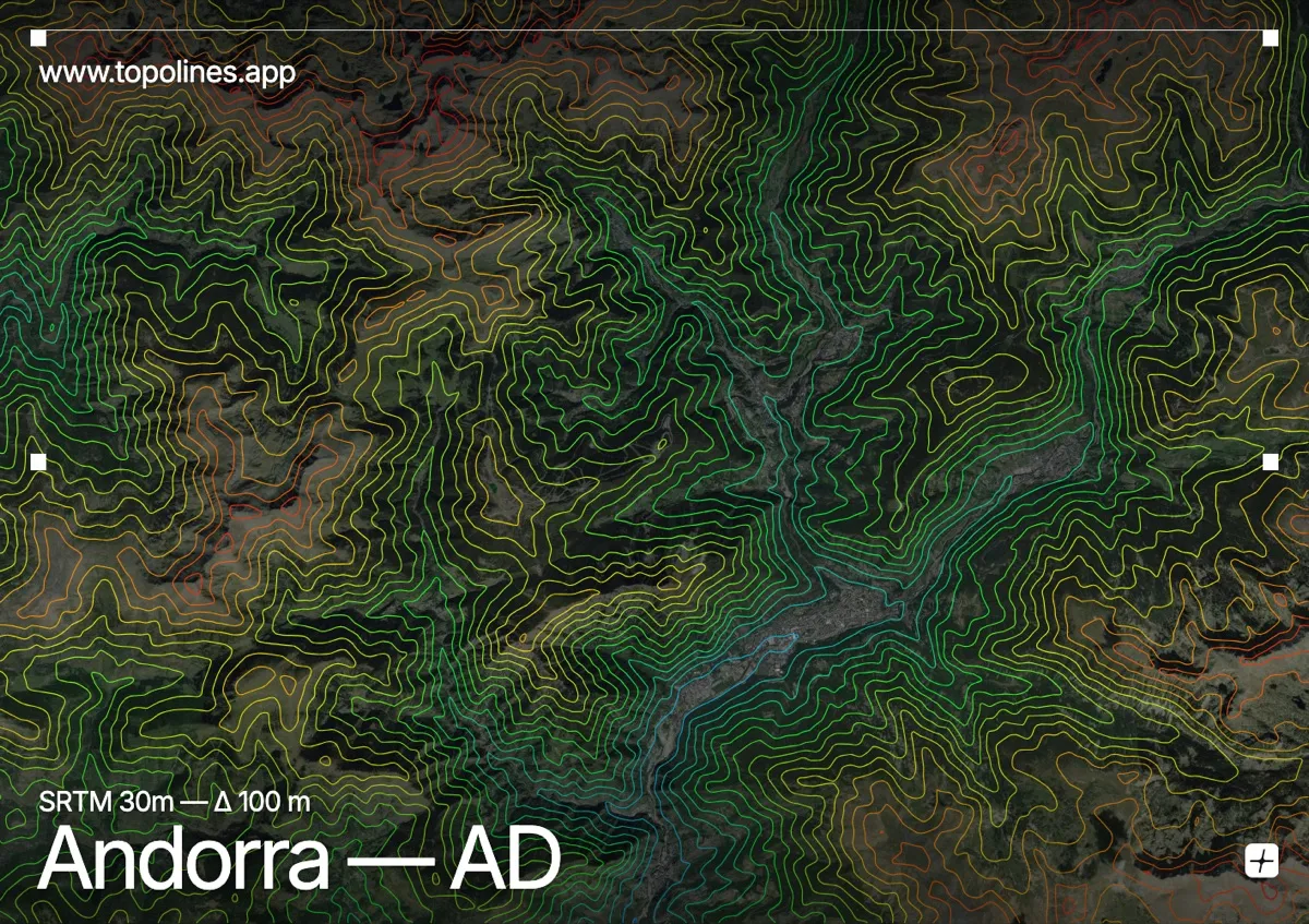
Andorra is a country made entirely of mountains, wedged in the high Pyrenees between France and Spain. Its lowest point sits at 840 m and its highest, Coma Pedrosa, reaches 2,942 m — there is no lowland at all.
The state is drained by the branching Valira valleys, which meet near Andorra la Vella and cut deep Y-shaped corridors through the massif. Everywhere else the ground climbs to ridges above 2,500 m. On the map the contours are relentless: narrow valley floors threading between densely packed high terrain, with almost no flat ground anywhere in the frame.
How this map was made
Every contour line traces a constant elevation drawn from the public GEDTM30 30 m bare-earth terrain model, extracted with a marching-squares algorithm at a 100 m interval and coloured by height — cool blues in the valley climbing to warm reds on the summits. The satellite base layer and the contours share the same Web Mercator projection, so the lines fall exactly on the ground they describe.
You can regenerate this exact view — and change the interval, colours, resolution or export it as a print-ready SVG — directly in the TopoLines editor.