Topographic map
of Chamonix
Haute-Savoie, France — 100 m contours over bare-earth elevation data.
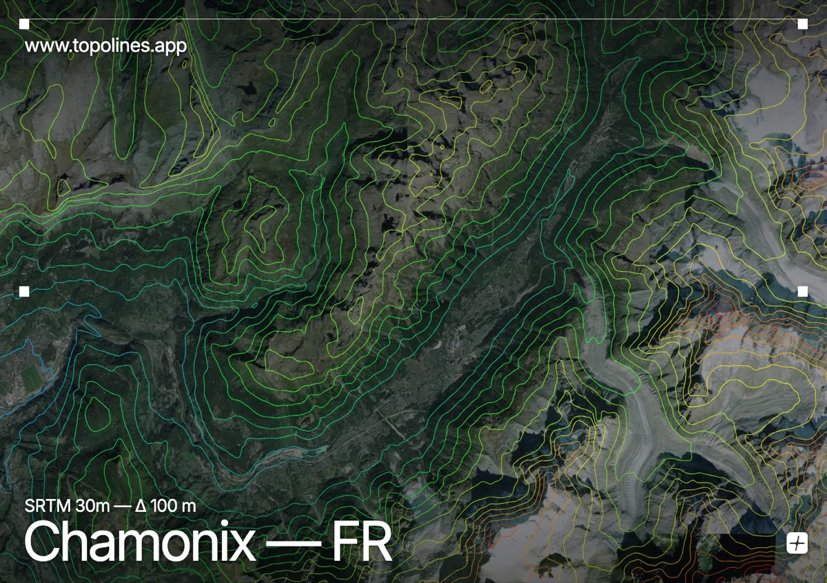
Chamonix lies in a deep glacial trough directly beneath Mont Blanc, the highest summit in the Alps at 4,808 m. The valley floor sits near 1,000 m, so the contour lines climb almost four vertical kilometres within the width of a single map.
The Mont Blanc massif walls the valley to the southeast, its granite aiguilles and hanging glaciers — the Mer de Glace, the Bossons — packing the contours into dense bands. Across the valley the Aiguilles Rouges rise more gently. The extreme relief makes this one of the most legible contour maps anywhere: every needle, couloir and glacier tongue reads as a distinct signature in the lines.
How this map was made
Every contour line traces a constant elevation drawn from the public GEDTM30 30 m bare-earth terrain model, extracted with a marching-squares algorithm at a 100 m interval and coloured by height — cool blues in the valley climbing to warm reds on the summits. The satellite base layer and the contours share the same Web Mercator projection, so the lines fall exactly on the ground they describe.
You can regenerate this exact view — and change the interval, colours, resolution or export it as a print-ready SVG — directly in the TopoLines editor.