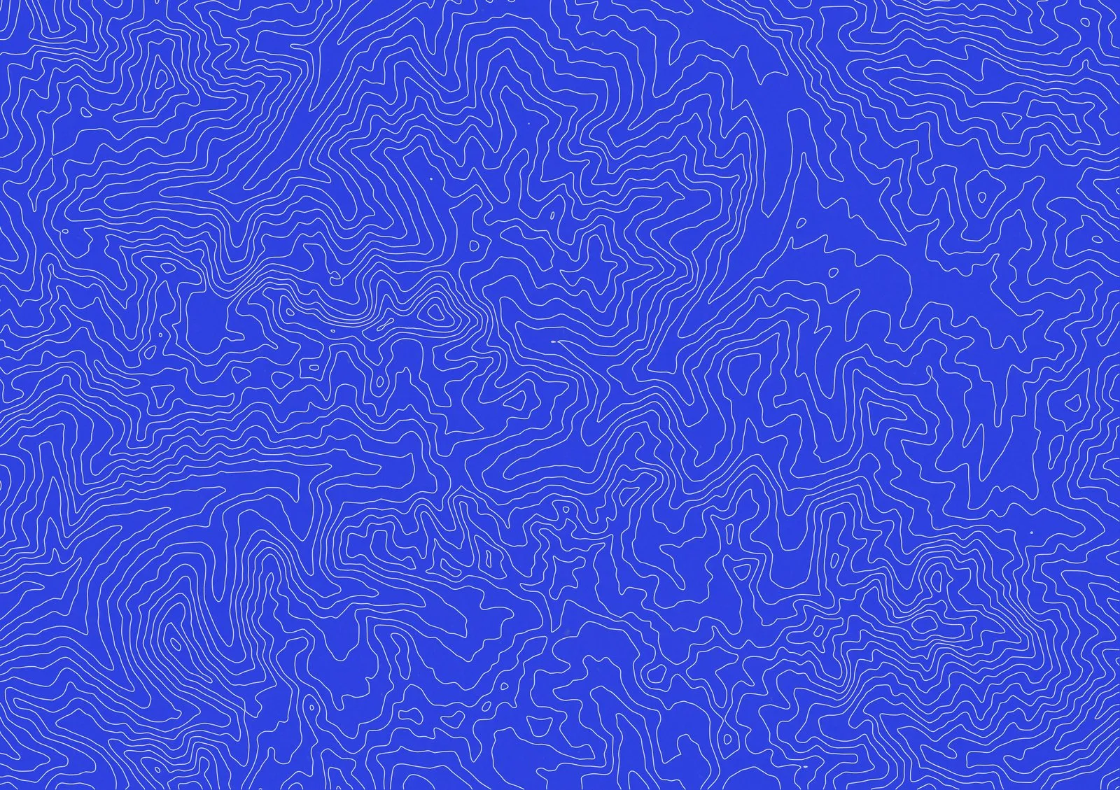
Every contour you generate in TopoLines is a real vector path — not a flattened image. That means you can export a zone as a clean, layered SVG and keep working with it anywhere.
Why vector matters
Raster exports lock you into a resolution. The moment you scale a PNG up for a poster or a large-format print, the lines turn soft. Vectors don’t have that problem: an SVG describes the geometry, so it stays razor-sharp at any size — a business card or a billboard.
Built for design tools
The SVG we produce is structured by elevation band, with consistent stroke attributes, so you can:
- Recolor whole elevation ranges in one click
- Adjust stroke weight without regenerating
- Drop it straight into Figma, Illustrator, or your favorite editor
How to export
Draw a zone, tune the style, then pick SVG in the export panel and hit Export Selected. That’s it — print-ready, editable, and yours.