Topographic map
of Zermatt
Valais, Switzerland — 100 m contours over bare-earth elevation data.
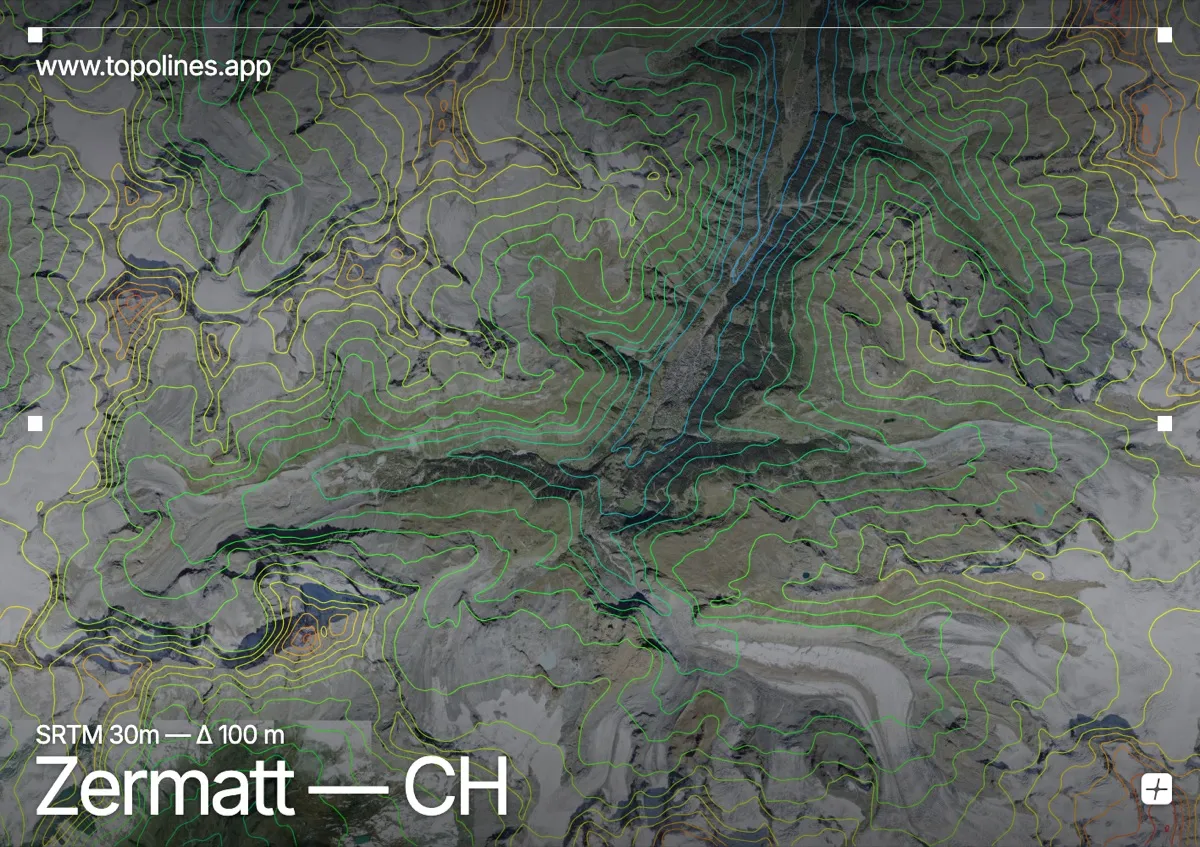
Zermatt sits at 1,608 m at the head of a steep valley, directly beneath the Matterhorn's unmistakable 4,478 m pyramid. The village is car-free and hemmed in on every side by peaks above 4,000 m.
The Matterhorn's isolated horn dominates the southwest, while the Monte Rosa massif — Switzerland's highest ground — closes the southeast behind the Gorner glacier. Contours here climb nearly three vertical kilometres from the valley floor, and the glacier tongues read as broad, smoothly spaced bands between the ridges.
How this map was made
Every contour line traces a constant elevation drawn from the public GEDTM30 30 m bare-earth terrain model, extracted with a marching-squares algorithm at a 100 m interval and coloured by height — cool blues in the valley climbing to warm reds on the summits. The satellite base layer and the contours share the same Web Mercator projection, so the lines fall exactly on the ground they describe.
You can regenerate this exact view — and change the interval, colours, resolution or export it as a print-ready SVG — directly in the TopoLines editor.