Topographic map
of Yerevan
Ararat plain, Armenia — 50 m contours over bare-earth elevation data.
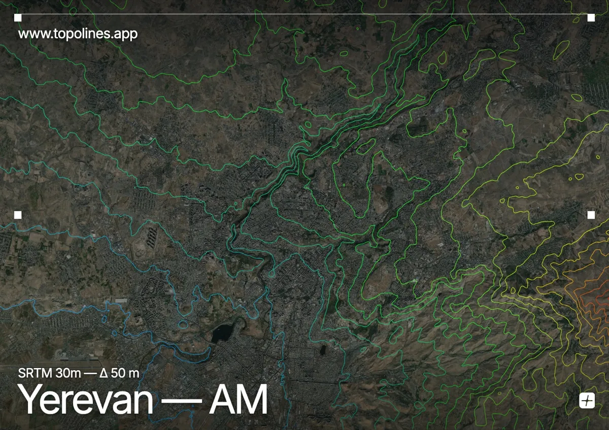
Yerevan sits on a series of terraces above the Hrazdan river gorge, on a high plateau facing the twin cones of Mount Ararat across the border in Turkey. The city rises gently from the gorge toward the surrounding volcanic hills, with Ararat dominating every southern view.
The Hrazdan cuts a deep ravine through the western side of the city, while the ground steps up eastward toward hills around 1,400–1,500 m. To the south the flat Ararat plain runs to the foot of the great volcano, and Mount Aragats stands to the northwest. On the map the gorge is a sharp incision through an otherwise broad, terraced plateau ringed by rising volcanic relief.
How this map was made
Every contour line traces a constant elevation drawn from the public GEDTM30 30 m bare-earth terrain model, extracted with a marching-squares algorithm at a 50 m interval and coloured by height — cool blues in the valley climbing to warm reds on the summits. The satellite base layer and the contours share the same Web Mercator projection, so the lines fall exactly on the ground they describe.
You can regenerate this exact view — and change the interval, colours, resolution or export it as a print-ready SVG — directly in the TopoLines editor.