Topographic map
of Wellington
North Island, New Zealand — 50 m contours over bare-earth elevation data.
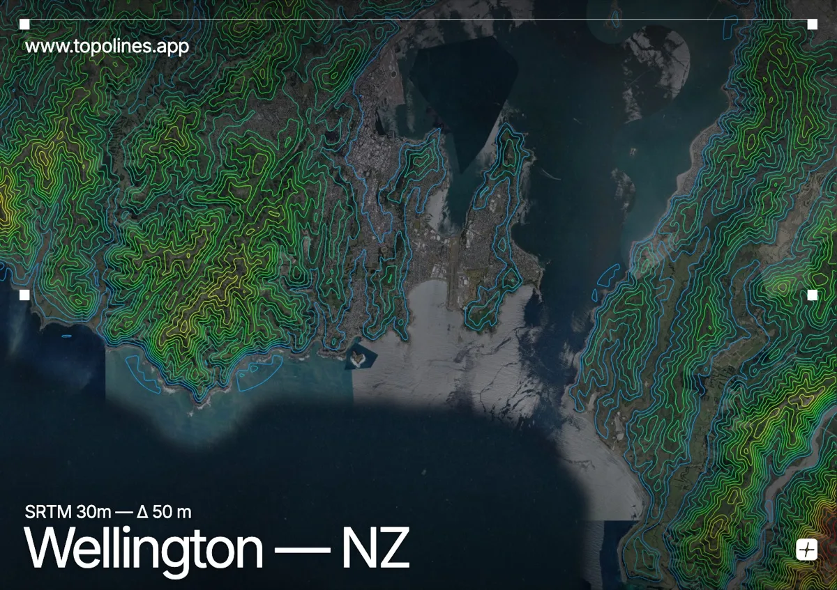
Wellington wraps around a large natural harbour hemmed in by steep hills, its houses climbing slopes so sharp that many are reached by cable car or private funicular. New Zealand's capital has almost no flat land — the terrain pushes the city up into the surrounding ridges.
Mount Victoria rises directly above the centre, Mount Kaukau tops 445 m to the north, and the Remutaka Range climbs past 900 m beyond the eastern harbour. The fault-controlled harbour forms a deep, near-circular basin. On the map the water reads as open space ringed by tightly packed contours climbing steeply from the shoreline on every side.
How this map was made
Every contour line traces a constant elevation drawn from the public GEDTM30 30 m bare-earth terrain model, extracted with a marching-squares algorithm at a 50 m interval and coloured by height — cool blues in the valley climbing to warm reds on the summits. The satellite base layer and the contours share the same Web Mercator projection, so the lines fall exactly on the ground they describe.
You can regenerate this exact view — and change the interval, colours, resolution or export it as a print-ready SVG — directly in the TopoLines editor.