Topographic map
of Vatican City
Enclave in Rome, Vatican City — 20 m contours over bare-earth elevation data.
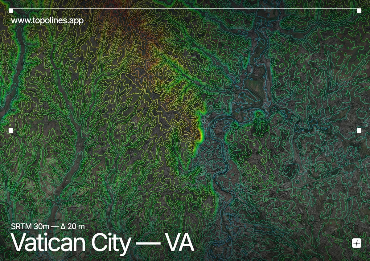
Vatican City is the world's smallest sovereign state at 0.49 km² — small enough that any topographic map at readable scale necessarily shows it inside Rome. That context is the point: the enclave sits on the Vatican Hill, on the right bank of the Tiber.
The terrain here is gentle by design — Rome grew on low hills, and the relief across this frame spans barely 140 m. Vatican Hill rises modestly behind St Peter's, Monte Mario forms the highest ground to the north, and the Tiber threads a broad flat corridor through the middle. The contours read as soft, widely spaced rings rather than mountain bands.
How this map was made
Every contour line traces a constant elevation drawn from the public GEDTM30 30 m bare-earth terrain model, extracted with a marching-squares algorithm at a 20 m interval and coloured by height — cool blues in the valley climbing to warm reds on the summits. The satellite base layer and the contours share the same Web Mercator projection, so the lines fall exactly on the ground they describe.
You can regenerate this exact view — and change the interval, colours, resolution or export it as a print-ready SVG — directly in the TopoLines editor.