Topographic map
of Ushuaia
Tierra del Fuego, Argentina — 100 m contours over bare-earth elevation data.
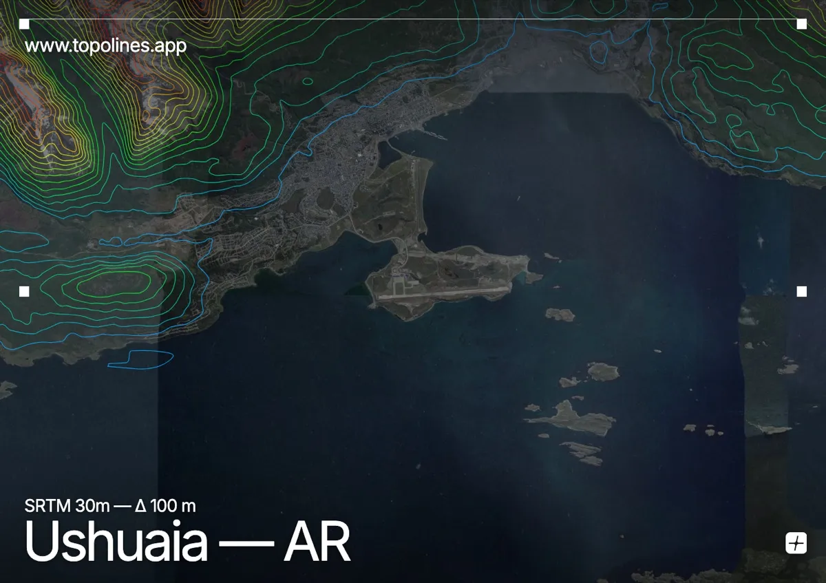
Ushuaia, the southernmost city in the world, is pinned between the Martial mountains and the Beagle Channel at the tip of Tierra del Fuego. The peaks rise with hanging glaciers directly behind the town, dropping almost straight to the water's edge.
The Martial Range and the sharp horn of Monte Olivia climb toward 1,300 m immediately north of the centre, still carrying small glaciers, while the Beagle Channel forms a flat southern edge opening toward Cape Horn. Short, steep valleys drop from the peaks to the shore. On the map the town is a thin strip between dense mountain contours and the clean line of the channel.
How this map was made
Every contour line traces a constant elevation drawn from the public GEDTM30 30 m bare-earth terrain model, extracted with a marching-squares algorithm at a 100 m interval and coloured by height — cool blues in the valley climbing to warm reds on the summits. The satellite base layer and the contours share the same Web Mercator projection, so the lines fall exactly on the ground they describe.
You can regenerate this exact view — and change the interval, colours, resolution or export it as a print-ready SVG — directly in the TopoLines editor.