Topographic map
of Tórshavn
Streymoy, Faroe Islands — 50 m contours over bare-earth elevation data.
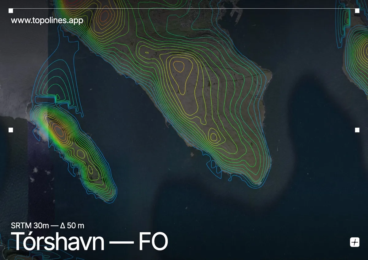
Tórshavn, the tiny capital of the Faroe Islands, sits on the east coast of Streymoy beneath treeless green fells, facing the sheltering island of Nólsoy across the sound. It is one of the smallest and most weather-beaten capitals in the world.
Húsareyn and Kirkjubøreyn rise directly behind the town to around 350 m, with higher fells on Streymoy climbing toward 700 m and the island of Nólsoy forming a long breakwater to the east. On the map the deeply indented Faroese coastline does much of the drawing, backed by the smooth but steep contours of the bare volcanic fells.
How this map was made
Every contour line traces a constant elevation drawn from the public GEDTM30 30 m bare-earth terrain model, extracted with a marching-squares algorithm at a 50 m interval and coloured by height — cool blues in the valley climbing to warm reds on the summits. The satellite base layer and the contours share the same Web Mercator projection, so the lines fall exactly on the ground they describe.
You can regenerate this exact view — and change the interval, colours, resolution or export it as a print-ready SVG — directly in the TopoLines editor.