Topographic map
of Seychelles
Mahé, Indian Ocean, Seychelles — 50 m contours over bare-earth elevation data.
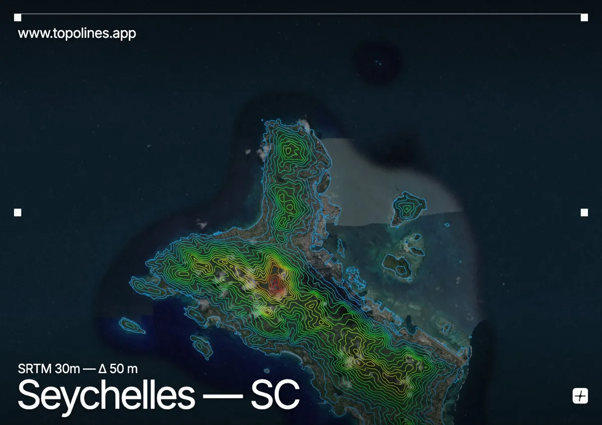
The Seychelles are the world's only mid-ocean granite islands, and Mahé — the main island, home to Victoria — is a steep ridge of ancient rock rising to 905 m straight out of the Indian Ocean. Beaches sit at the foot of near-mountainous terrain.
Morne Seychellois runs the length of the island as a forested spine, with short, very steep catchments dropping to the coast on both sides. There is almost no coastal plain: the contours start packing together within a few hundred metres of the shoreline. The map reads as a narrow, high-relief backbone framed entirely by ocean.
How this map was made
Every contour line traces a constant elevation drawn from the public GEDTM30 30 m bare-earth terrain model, extracted with a marching-squares algorithm at a 50 m interval and coloured by height — cool blues in the valley climbing to warm reds on the summits. The satellite base layer and the contours share the same Web Mercator projection, so the lines fall exactly on the ground they describe.
You can regenerate this exact view — and change the interval, colours, resolution or export it as a print-ready SVG — directly in the TopoLines editor.