Topographic map
of Santiago
Santiago Metropolitan, Chile — 100 m contours over bare-earth elevation data.
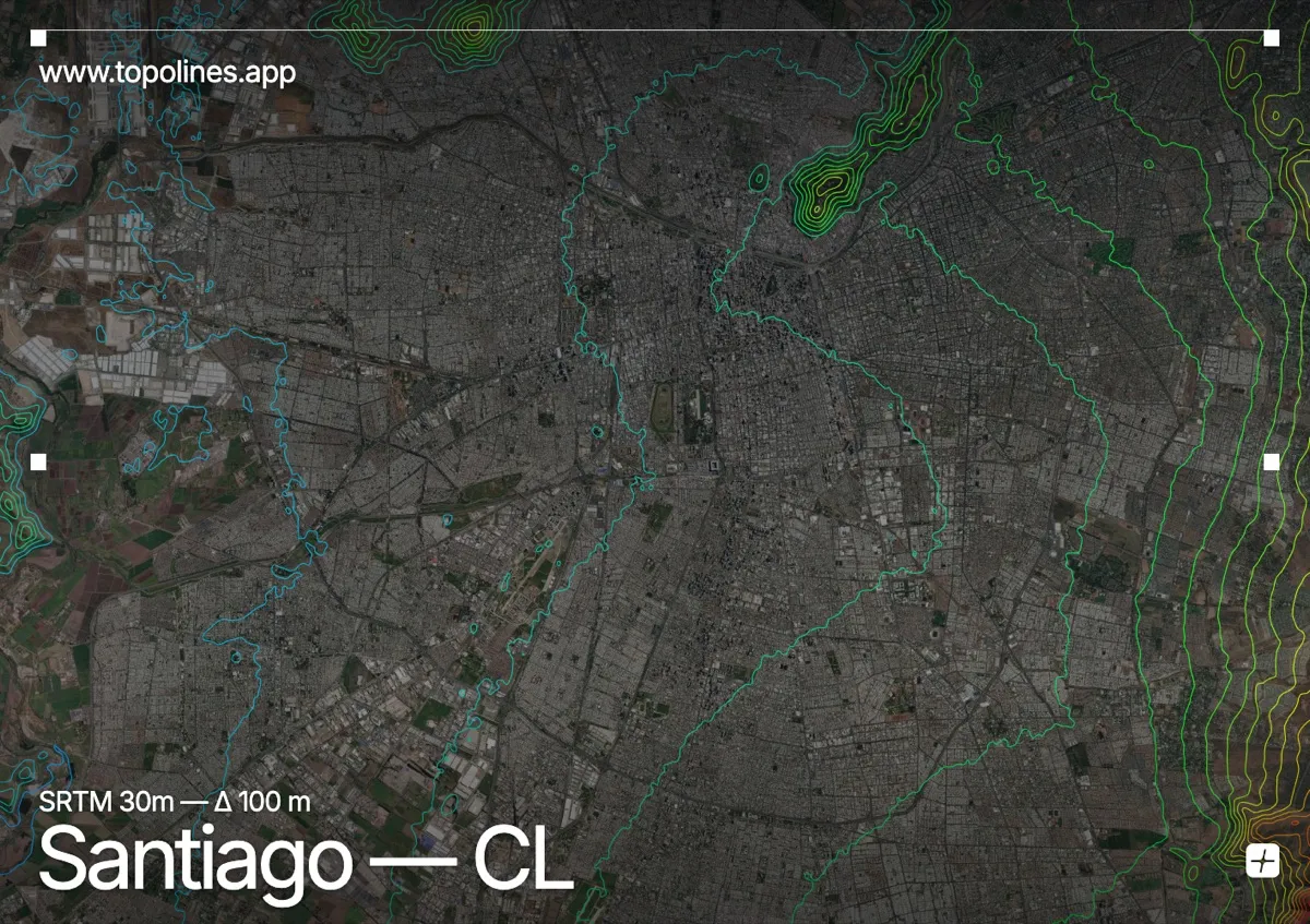
Santiago spreads across a broad basin at 570 m, hemmed between the Chilean Coastal Range and the main Andean cordillera. On clear days the Andes rise as a wall of snow directly at the end of the city's streets.
Isolated hills — Cerro San Cristóbal, Santa Lucía — break the flat basin inside the city, while the Andean front climbs past 3,000 m within twenty kilometres to the east and keeps going. The map shows a wide, open valley floor abruptly bounded by some of the steepest contour gradients of any capital.
How this map was made
Every contour line traces a constant elevation drawn from the public GEDTM30 30 m bare-earth terrain model, extracted with a marching-squares algorithm at a 100 m interval and coloured by height — cool blues in the valley climbing to warm reds on the summits. The satellite base layer and the contours share the same Web Mercator projection, so the lines fall exactly on the ground they describe.
You can regenerate this exact view — and change the interval, colours, resolution or export it as a print-ready SVG — directly in the TopoLines editor.