Topographic map
of San Marino
Apennines, San Marino — 50 m contours over bare-earth elevation data.
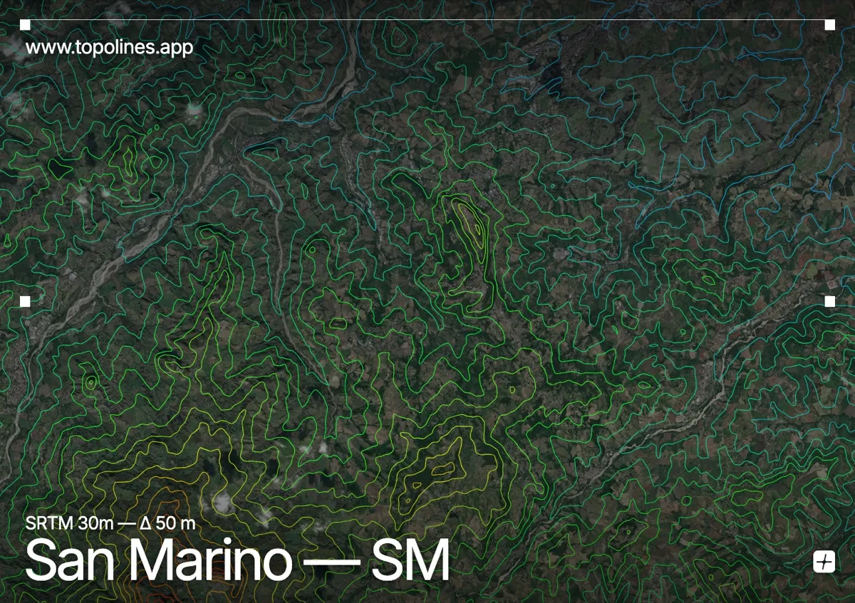
San Marino is built on top of Monte Titano, a limestone crag that juts abruptly out of the Apennine foothills near the Adriatic. The whole republic — 61 km² — fits comfortably inside a single map frame.
Monte Titano's three summits carry the historic towers, its western face dropping in near-vertical cliffs while the eastern slopes fall away more gently toward the Romagna plain. On the map the crag reads as a tight knot of concentric contours standing alone above open, gently rolling farmland — an unusually legible piece of topography for an entire country.
How this map was made
Every contour line traces a constant elevation drawn from the public GEDTM30 30 m bare-earth terrain model, extracted with a marching-squares algorithm at a 50 m interval and coloured by height — cool blues in the valley climbing to warm reds on the summits. The satellite base layer and the contours share the same Web Mercator projection, so the lines fall exactly on the ground they describe.
You can regenerate this exact view — and change the interval, colours, resolution or export it as a print-ready SVG — directly in the TopoLines editor.