Topographic map
of San Francisco
California, United States — 20 m contours over bare-earth elevation data.
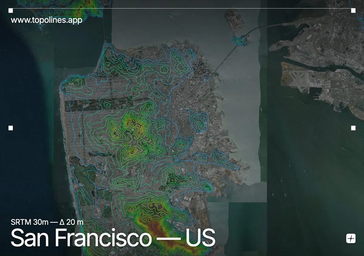
San Francisco is famous for its hills — more than forty of them — packed onto the tip of a peninsula between the Pacific and the bay. The relief is modest in height but relentless in frequency, which is exactly why the city's grid pitches up and down so dramatically.
Twin Peaks and Mount Davidson rise near the centre to around 280 m, with a scatter of named hills — Nob, Russian, Telegraph — studding the northern quarters. The bay and Pacific frame the peninsula on three sides. On the map the effect is a dense field of small, tightly nested contour rings across the whole tip, ringed by water rather than by a single mountain front.
How this map was made
Every contour line traces a constant elevation drawn from the public GEDTM30 30 m bare-earth terrain model, extracted with a marching-squares algorithm at a 20 m interval and coloured by height — cool blues in the valley climbing to warm reds on the summits. The satellite base layer and the contours share the same Web Mercator projection, so the lines fall exactly on the ground they describe.
You can regenerate this exact view — and change the interval, colours, resolution or export it as a print-ready SVG — directly in the TopoLines editor.