Topographic map
of Reykjavík
Capital Region, Iceland — 50 m contours over bare-earth elevation data.
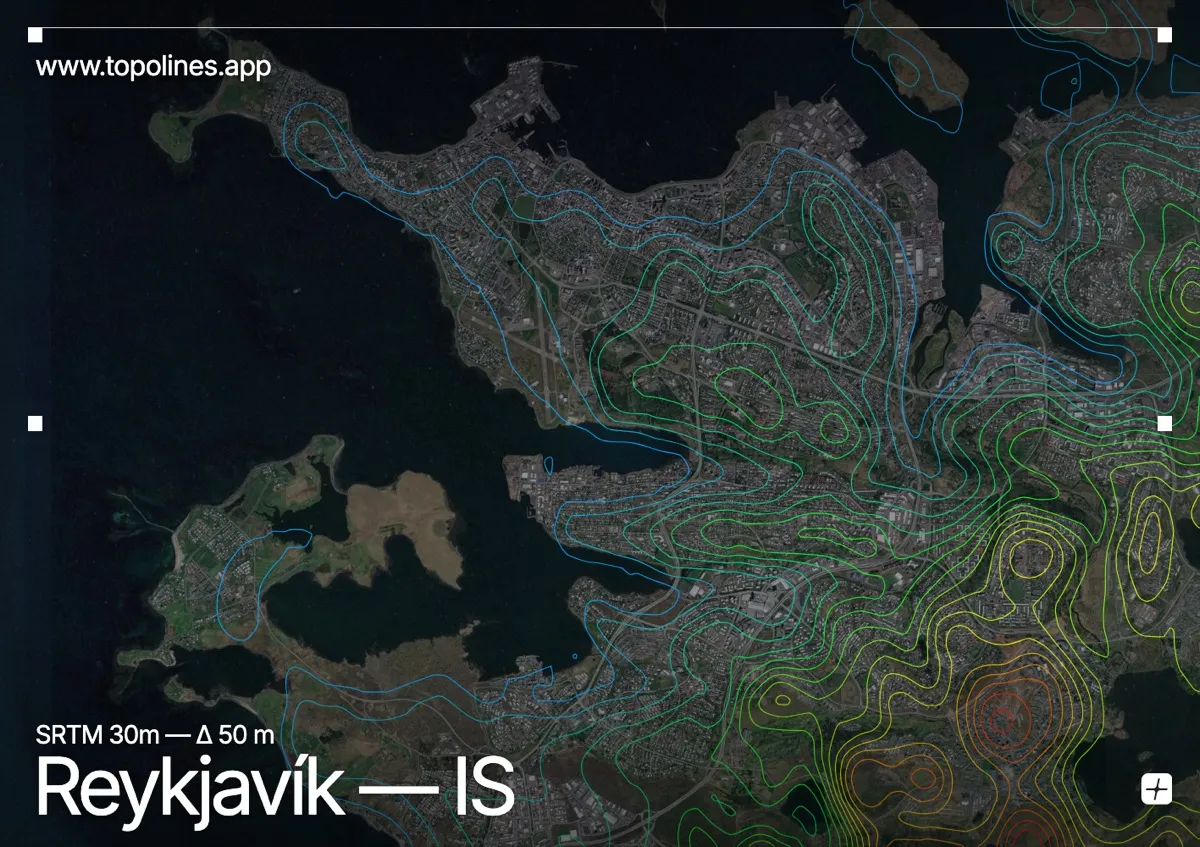
Reykjavík, the world's northernmost capital, spreads low along the shore of Faxaflói bay with the long basalt wall of Mount Esja rising across the water. The city itself is gentle, but the mountains and the indented volcanic coastline frame every view.
Esja forms a flat-topped ridge climbing to around 914 m directly north across the bay, the Bláfjöll rise to the southeast, and the coastline breaks into peninsulas and skerries around the built area. On the map the city reads as low, open ground along a deeply indented shore, with the tabletop contours of Esja standing as a firm band beyond the water.
How this map was made
Every contour line traces a constant elevation drawn from the public GEDTM30 30 m bare-earth terrain model, extracted with a marching-squares algorithm at a 50 m interval and coloured by height — cool blues in the valley climbing to warm reds on the summits. The satellite base layer and the contours share the same Web Mercator projection, so the lines fall exactly on the ground they describe.
You can regenerate this exact view — and change the interval, colours, resolution or export it as a print-ready SVG — directly in the TopoLines editor.