Topographic map
of Narvik
Nordland, Norway — 100 m contours over bare-earth elevation data.
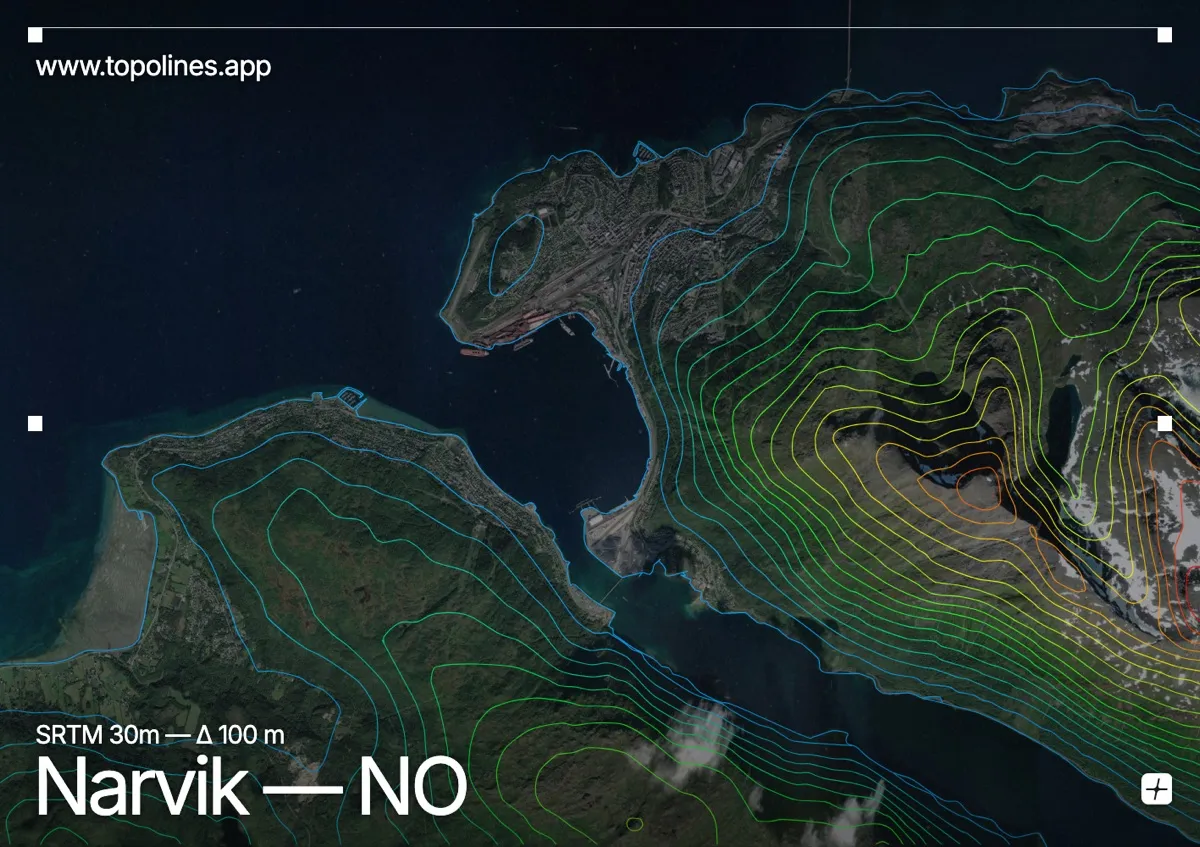
Narvik sits on the Ofotfjord deep inside Arctic Norway, an ice-free port ringed by steep mountains that carry ski slopes right down toward the town. The fjord reaches far inland here, walled by peaks on every side.
Narvikfjellet rises directly above the centre, the Beisfjord and Rombak arms branch off the main Ofotfjord, and the surrounding summits climb toward 1,500 m within a short distance of the water. On the map the fjord system reads as a set of thin flat channels reaching between densely contoured Arctic peaks, with the port strung along the narrow shelf at their foot.
How this map was made
Every contour line traces a constant elevation drawn from the public GEDTM30 30 m bare-earth terrain model, extracted with a marching-squares algorithm at a 100 m interval and coloured by height — cool blues in the valley climbing to warm reds on the summits. The satellite base layer and the contours share the same Web Mercator projection, so the lines fall exactly on the ground they describe.
You can regenerate this exact view — and change the interval, colours, resolution or export it as a print-ready SVG — directly in the TopoLines editor.