Topographic map
of Nafplio
Peloponnese, Greece — 50 m contours over bare-earth elevation data.
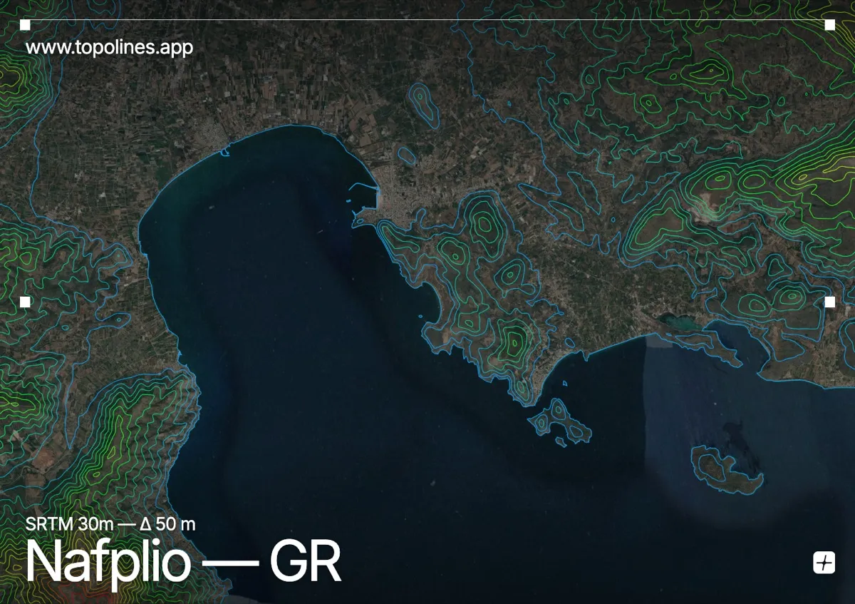
Nafplio, the first capital of modern Greece, sits on a promontory at the head of the Argolic Gulf, crowned by the Palamidi fortress on a crag directly above the old town. Hills rise straight from the harbour, and the peaks of the Argolid stand behind the coastal plain.
The Palamidi rock climbs some 200 m sheer above the streets, with the Arachnaio range rising toward 700 m and beyond across the plain to the north and east. The flat, fertile Argolic lowland spreads inland from the gulf. On the map the fortified crag reads as a tight knot of concentric contours on the shore, backed by the open plain and the rising hills of the Peloponnese.
How this map was made
Every contour line traces a constant elevation drawn from the public GEDTM30 30 m bare-earth terrain model, extracted with a marching-squares algorithm at a 50 m interval and coloured by height — cool blues in the valley climbing to warm reds on the summits. The satellite base layer and the contours share the same Web Mercator projection, so the lines fall exactly on the ground they describe.
You can regenerate this exact view — and change the interval, colours, resolution or export it as a print-ready SVG — directly in the TopoLines editor.