Topographic map
of Montenegro
Bay of Kotor, Montenegro — 100 m contours over bare-earth elevation data.
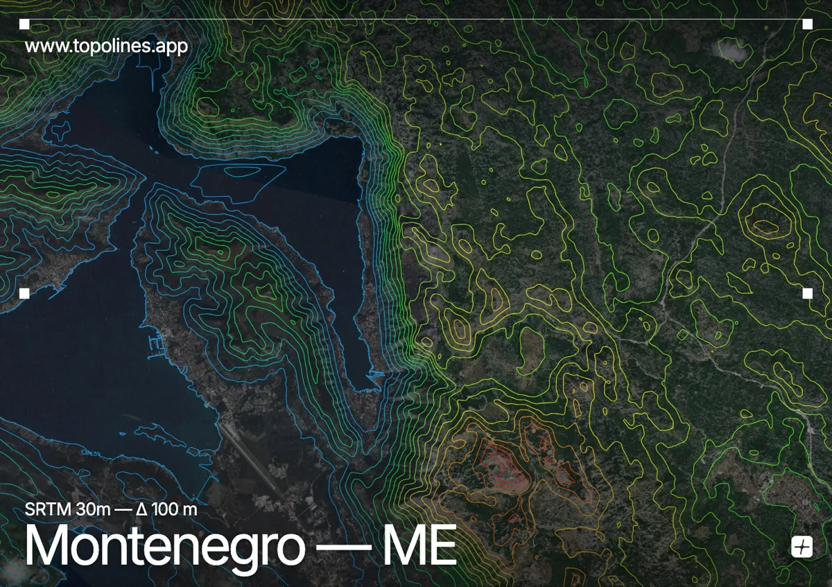
Montenegro's name means 'black mountain', and this frame centres on the Bay of Kotor, its most spectacular terrain. The bay is a drowned river canyon where limestone walls rise from sea level to over 1,700 m within three kilometres of the water.
Lovćen stands directly above Kotor, and the Orjen massif closes the bay to the northwest, both passing 1,700 m. The inlet's twisting arms cut deep between them, giving the impression of a fjord. On the map the contrast is extreme: flat water winding through some of the tightest contour spacing on the Adriatic coast.
How this map was made
Every contour line traces a constant elevation drawn from the public GEDTM30 30 m bare-earth terrain model, extracted with a marching-squares algorithm at a 100 m interval and coloured by height — cool blues in the valley climbing to warm reds on the summits. The satellite base layer and the contours share the same Web Mercator projection, so the lines fall exactly on the ground they describe.
You can regenerate this exact view — and change the interval, colours, resolution or export it as a print-ready SVG — directly in the TopoLines editor.