Topographic map
of Monaco
French Riviera, Monaco — 50 m contours over bare-earth elevation data.
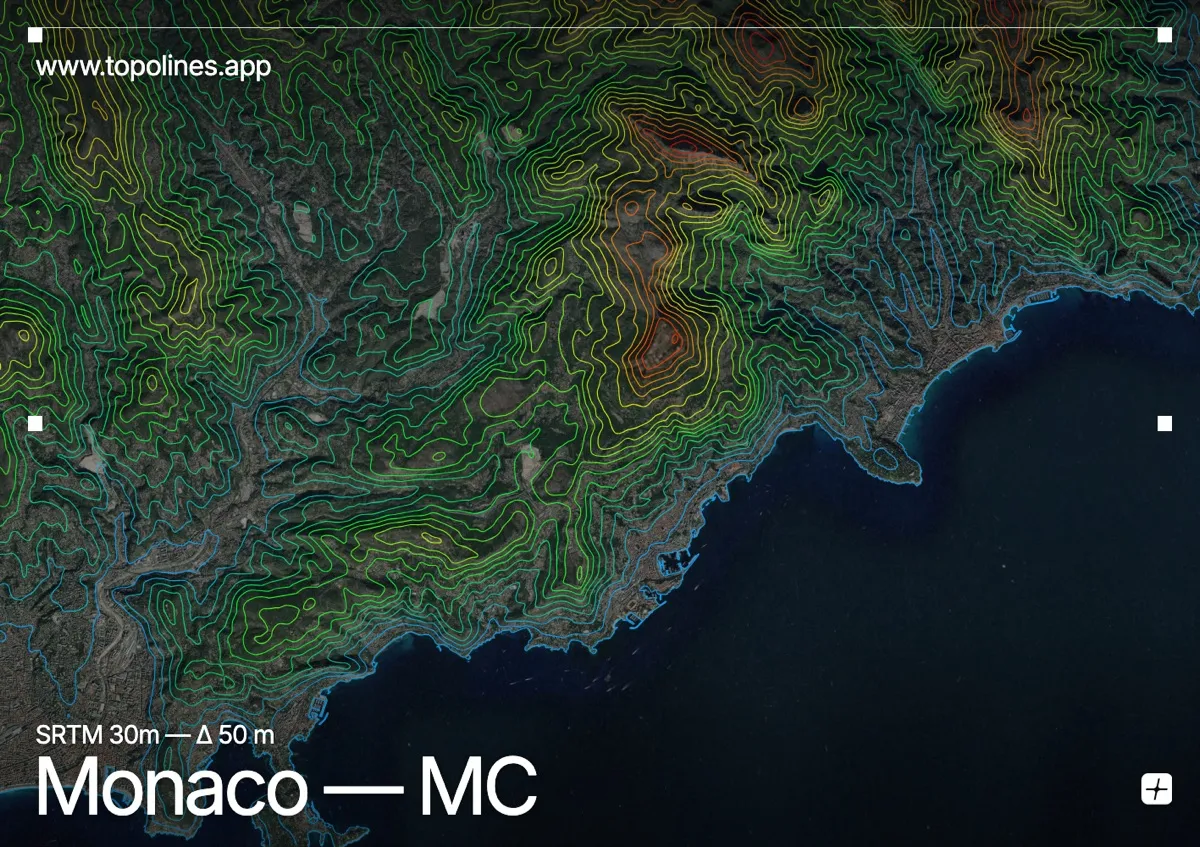
Monaco packs an entire sovereign state into 2 km² of cliffside between the Mediterranean and the Maritime Alps. The principality is built on terraces cut into a slope that climbs from the harbour to 164 m in a few hundred metres.
The limestone wall of the Tête de Chien rises directly behind Monte-Carlo, and beyond it Mont Agel passes 1,100 m barely five kilometres inland. On the map the coastline is a hard edge, the principality a sliver of terraced ground, and the contours behind it stack almost on top of each other — one of the steepest sea-to-summit gradients in Europe.
How this map was made
Every contour line traces a constant elevation drawn from the public GEDTM30 30 m bare-earth terrain model, extracted with a marching-squares algorithm at a 50 m interval and coloured by height — cool blues in the valley climbing to warm reds on the summits. The satellite base layer and the contours share the same Web Mercator projection, so the lines fall exactly on the ground they describe.
You can regenerate this exact view — and change the interval, colours, resolution or export it as a print-ready SVG — directly in the TopoLines editor.