Topographic map
of Medellín
Antioquia, Colombia — 100 m contours over bare-earth elevation data.
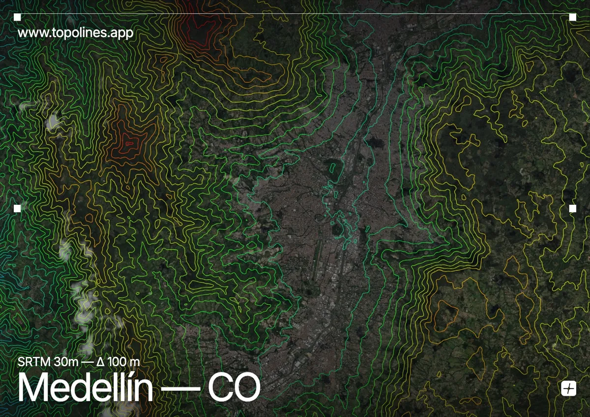
Medellín fills the narrow Aburrá valley at 1,495 m, its neighbourhoods climbing the steep slopes on both sides until the ground becomes too sharp to build on. The city is a textbook case of urban form dictated by relief.
The valley walls of Colombia's Central Cordillera rise toward 2,800 m on either flank, hemming the built area into a long north-south ribbon along the Medellín river. On the map the contours squeeze in from east and west in tight parallel bands, and the settled area reads clearly as the flat-bottomed trough between them.
How this map was made
Every contour line traces a constant elevation drawn from the public GEDTM30 30 m bare-earth terrain model, extracted with a marching-squares algorithm at a 100 m interval and coloured by height — cool blues in the valley climbing to warm reds on the summits. The satellite base layer and the contours share the same Web Mercator projection, so the lines fall exactly on the ground they describe.
You can regenerate this exact view — and change the interval, colours, resolution or export it as a print-ready SVG — directly in the TopoLines editor.