Topographic map
of Marseille
Provence-Alpes-Côte d'Azur, France — 50 m contours over bare-earth elevation data.
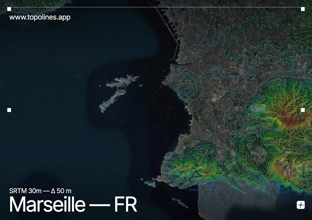
Marseille spreads across a broad limestone amphitheatre open to the Mediterranean, ringed by white massifs that hem the city against its harbour. To the south the Calanques plunge into the sea in sheer white cliffs, giving one of the most distinctive coastlines in France.
The Massif de l'Étoile closes the north with the Grande Étoile, the Garlaban rises to the east above Aubagne, and the Massif des Calanques walls the southern shore with cliffs dropping straight to hidden inlets. The old port sits at the low centre of the bowl. On the map the flat urban basin is bracketed on every landward side by tight bands of limestone contour, and cut cleanly by the calanque shoreline to the south.
How this map was made
Every contour line traces a constant elevation drawn from the public GEDTM30 30 m bare-earth terrain model, extracted with a marching-squares algorithm at a 50 m interval and coloured by height — cool blues in the valley climbing to warm reds on the summits. The satellite base layer and the contours share the same Web Mercator projection, so the lines fall exactly on the ground they describe.
You can regenerate this exact view — and change the interval, colours, resolution or export it as a print-ready SVG — directly in the TopoLines editor.