Topographic map
of Lysefjord
Rogaland, Norway — 100 m contours over bare-earth elevation data.
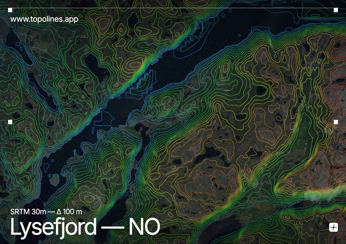
The Lysefjord cuts a straight 42-kilometre gash into the mountains of Rogaland, its walls famous for the flat cliff of Preikestolen and the boulder of Kjeragbolten wedged high above the water. It is one of the most photographed fjords in Norway.
The fjord's granite walls rise almost sheer, Preikestolen standing 604 m above the surface and Kjerag topping 1,000 m at the inner end. Barren plateaux stretch back from the rim. On the map the fjord is a thin, ruler-straight channel of flat water incised into a dense mass of high contour, the cliff edges reading as the sharpest possible transition from sea level to summit.
How this map was made
Every contour line traces a constant elevation drawn from the public GEDTM30 30 m bare-earth terrain model, extracted with a marching-squares algorithm at a 100 m interval and coloured by height — cool blues in the valley climbing to warm reds on the summits. The satellite base layer and the contours share the same Web Mercator projection, so the lines fall exactly on the ground they describe.
You can regenerate this exact view — and change the interval, colours, resolution or export it as a print-ready SVG — directly in the TopoLines editor.