Topographic map
of Luxembourg
Alzette & Pétrusse valleys, Luxembourg — 20 m contours over bare-earth elevation data.
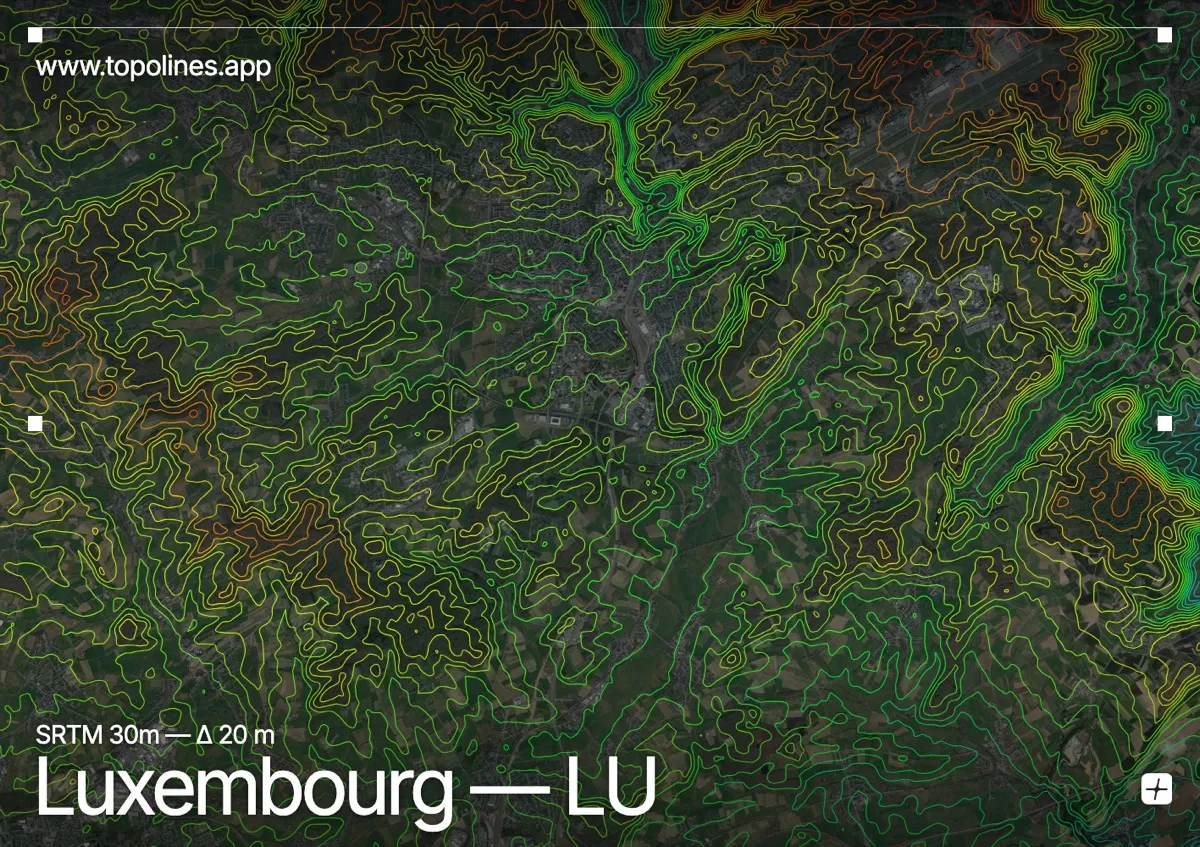
Luxembourg's capital is built across a plateau split by two deep river gorges, and this frame centres on that dramatic core rather than the whole grand duchy. The old town sits on a promontory 70 m above the Alzette, which is why it was among Europe's most fortified sites.
The Alzette and Pétrusse carve steep, winding canyons through soft sandstone, isolating the Bock promontory and the old quarters on their spurs. Away from the gorges the Gutland plateau rolls gently toward 450 m. The map shows exactly what the fortifications exploited: a flat tableland abruptly cut by ravines.
How this map was made
Every contour line traces a constant elevation drawn from the public GEDTM30 30 m bare-earth terrain model, extracted with a marching-squares algorithm at a 20 m interval and coloured by height — cool blues in the valley climbing to warm reds on the summits. The satellite base layer and the contours share the same Web Mercator projection, so the lines fall exactly on the ground they describe.
You can regenerate this exact view — and change the interval, colours, resolution or export it as a print-ready SVG — directly in the TopoLines editor.