Topographic map
of Lofoten
Nordland, Norway — 100 m contours over bare-earth elevation data.
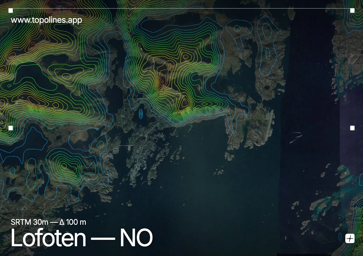
The Lofoten islands rise from the Norwegian Sea as a wall of jagged granite peaks, their fishing villages tucked onto slivers of shore beneath summits that climb straight from the water. Few places pack so much vertical relief into so little land.
Vågakallen and the serrated summits of the 'Lofoten Wall' top around 940–1,000 m directly above the sea, separated by narrow sounds and sheltered bays where the villages sit. There is almost no flat ground. On the map the islands read as a chain of tight, near-concentric contour knots rising abruptly out of open water, the classic Lofoten silhouette.
How this map was made
Every contour line traces a constant elevation drawn from the public GEDTM30 30 m bare-earth terrain model, extracted with a marching-squares algorithm at a 100 m interval and coloured by height — cool blues in the valley climbing to warm reds on the summits. The satellite base layer and the contours share the same Web Mercator projection, so the lines fall exactly on the ground they describe.
You can regenerate this exact view — and change the interval, colours, resolution or export it as a print-ready SVG — directly in the TopoLines editor.