Topographic map
of Ísafjörður
Westfjords, Iceland — 50 m contours over bare-earth elevation data.
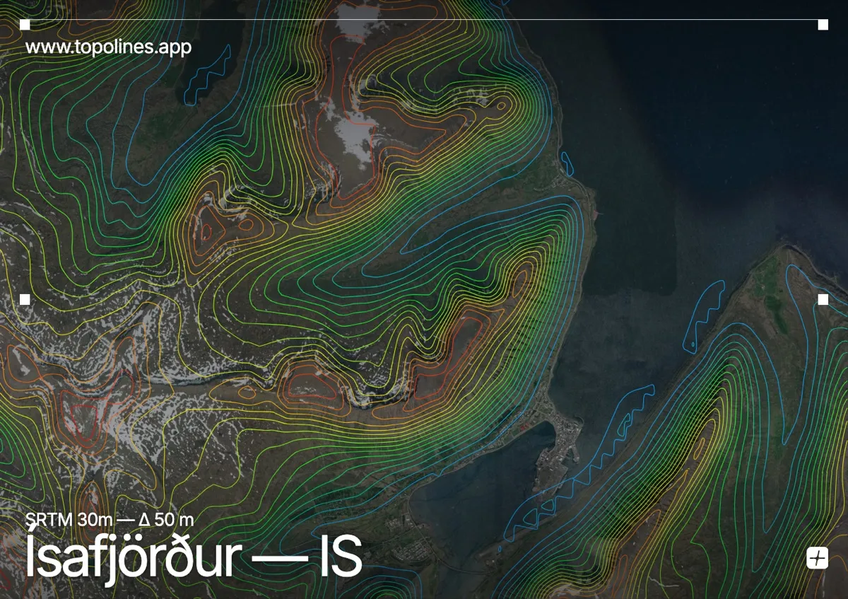
Ísafjörður, the capital of Iceland's remote Westfjords, sits on a sandy spit curling into a fjord just below the Arctic Circle. Flat-topped mountains rise steeply on all sides, hemming the town against the water.
The Westfjords' characteristic basalt plateaux climb to around 700–800 m in near-vertical steps around the Ísafjarðardjúp fjord system, their tops planed flat by ancient ice. The town clings to a low gravel spit. On the map the fjords read as branching flat channels between blocks of dense contour that stop abruptly at the level plateau summits — a very distinctive tabletop relief.
How this map was made
Every contour line traces a constant elevation drawn from the public GEDTM30 30 m bare-earth terrain model, extracted with a marching-squares algorithm at a 50 m interval and coloured by height — cool blues in the valley climbing to warm reds on the summits. The satellite base layer and the contours share the same Web Mercator projection, so the lines fall exactly on the ground they describe.
You can regenerate this exact view — and change the interval, colours, resolution or export it as a print-ready SVG — directly in the TopoLines editor.