Topographic map
of Gibraltar
Strait of Gibraltar, Gibraltar — 50 m contours over bare-earth elevation data.
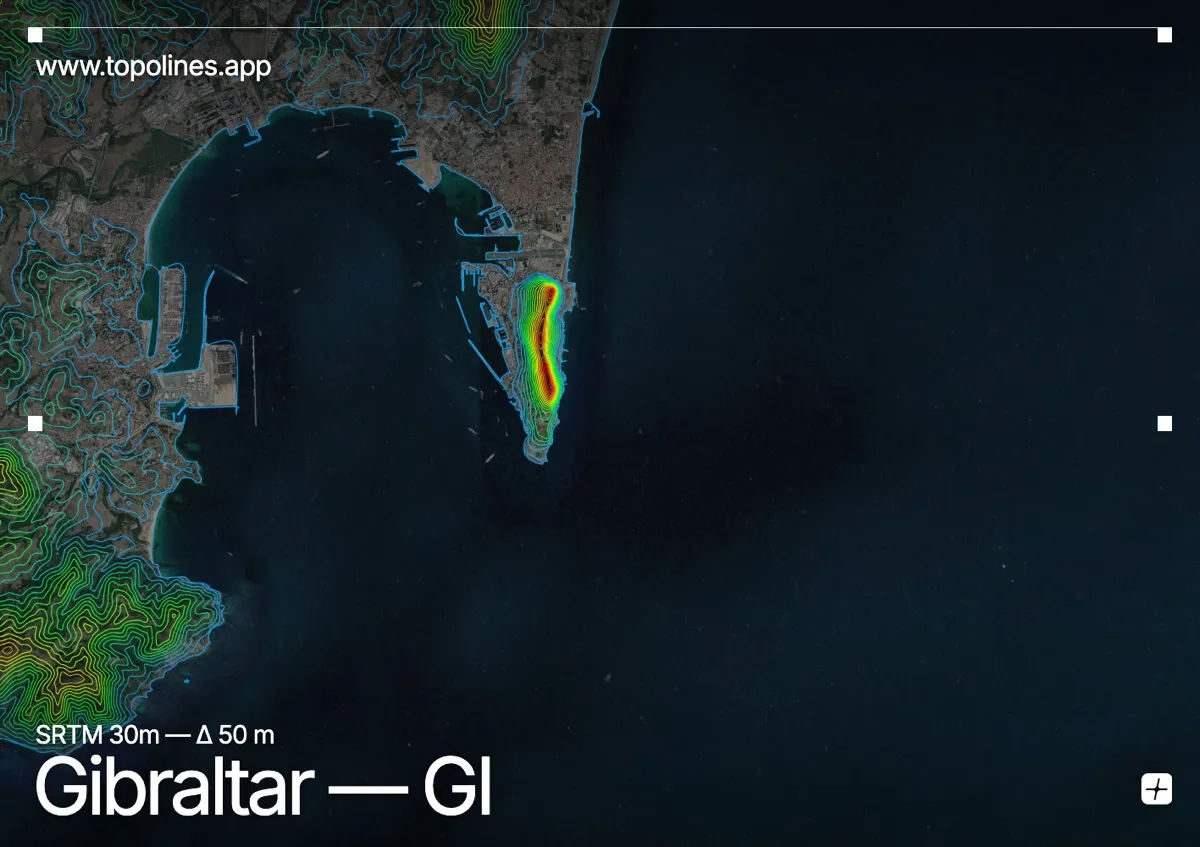
Gibraltar is essentially one mountain: a 426 m limestone monolith rising straight out of the sea at the mouth of the Mediterranean. The territory covers 6.8 km², most of it the Rock itself.
The Rock's eastern face drops almost sheer to the water while the western slope carries the town down to the harbour, and a flat sandy isthmus links it to Spain. Across the bay the Sierra Carbonera and the hills behind Algeciras close the western horizon. On the map the monolith is unmistakable — an isolated bundle of contours pinched between two coastlines.
How this map was made
Every contour line traces a constant elevation drawn from the public GEDTM30 30 m bare-earth terrain model, extracted with a marching-squares algorithm at a 50 m interval and coloured by height — cool blues in the valley climbing to warm reds on the summits. The satellite base layer and the contours share the same Web Mercator projection, so the lines fall exactly on the ground they describe.
You can regenerate this exact view — and change the interval, colours, resolution or export it as a print-ready SVG — directly in the TopoLines editor.