Topographic map
of Chania
Crete, Greece — 100 m contours over bare-earth elevation data.
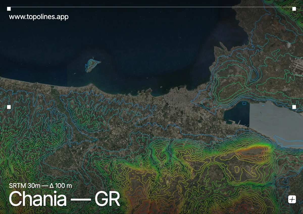
Chania sits on Crete's northwest coast with its Venetian harbour at sea level and the White Mountains — the Lefka Ori — rising as a snow-streaked wall directly inland. The contrast is extreme: from a Mediterranean port to peaks above 2,400 m within a short distance south.
The Lefka Ori dominate the interior, their limestone summits passing 2,400 m and cut by the deep Samaria gorge, while the Akrotiri peninsula juts flat and low to the northeast of the town. On the map the coastal plain around Chania reads as open ground abruptly bounded by the densely packed contours of one of the highest mountain massifs in the Mediterranean islands.
How this map was made
Every contour line traces a constant elevation drawn from the public GEDTM30 30 m bare-earth terrain model, extracted with a marching-squares algorithm at a 100 m interval and coloured by height — cool blues in the valley climbing to warm reds on the summits. The satellite base layer and the contours share the same Web Mercator projection, so the lines fall exactly on the ground they describe.
You can regenerate this exact view — and change the interval, colours, resolution or export it as a print-ready SVG — directly in the TopoLines editor.