Topographic map
of Bariloche
Río Negro, Argentina — 100 m contours over bare-earth elevation data.
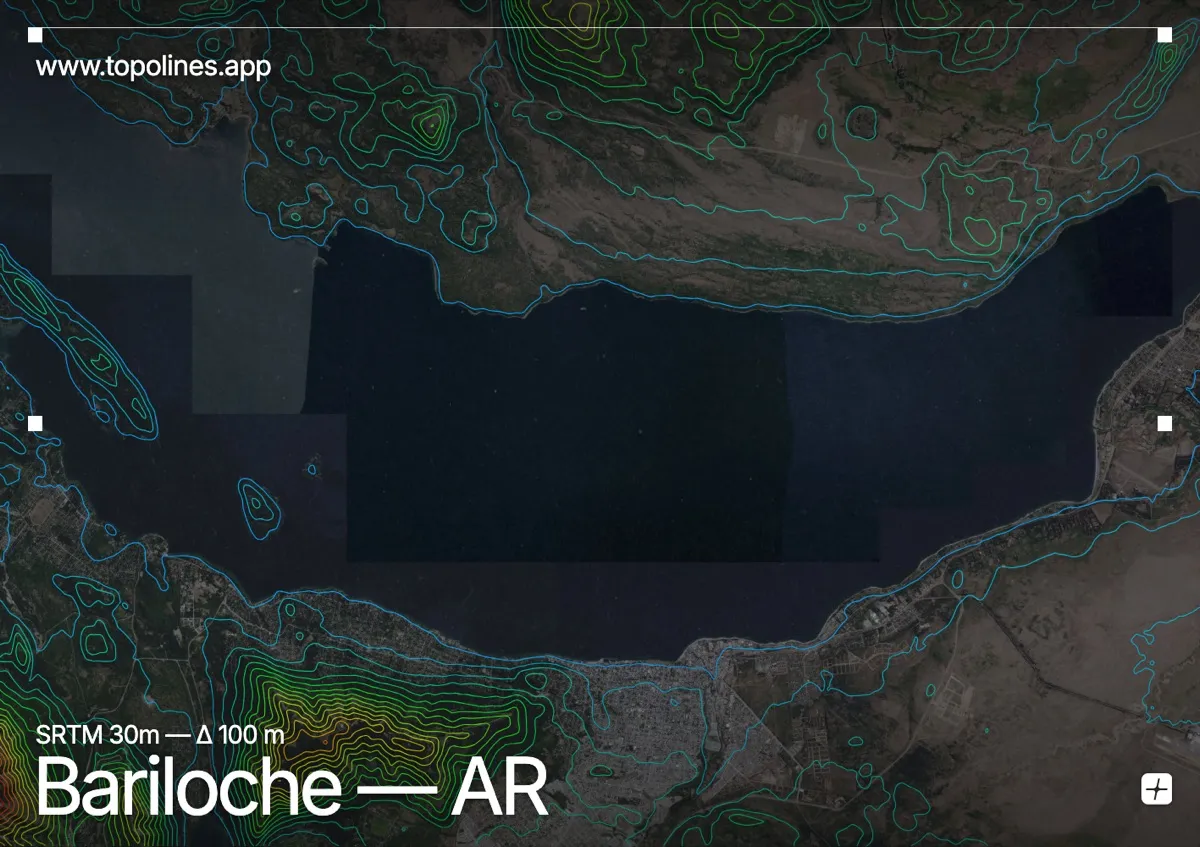
San Carlos de Bariloche sits on the southern shore of Lake Nahuel Huapi, where the Patagonian steppe meets the Andes. The lake's glacial arms cut deep into mountains that rise well above 2,000 m.
Cerro Catedral and Cerro López stand immediately southwest of the town, with the Andean cordillera stacking westward toward the Chilean border. Nahuel Huapi's irregular, fjord-like arms wrap around forested peninsulas. On the map the flat lake fingers contrast sharply with the dense contours of the surrounding peaks.
How this map was made
Every contour line traces a constant elevation drawn from the public GEDTM30 30 m bare-earth terrain model, extracted with a marching-squares algorithm at a 100 m interval and coloured by height — cool blues in the valley climbing to warm reds on the summits. The satellite base layer and the contours share the same Web Mercator projection, so the lines fall exactly on the ground they describe.
You can regenerate this exact view — and change the interval, colours, resolution or export it as a print-ready SVG — directly in the TopoLines editor.