Topographic map
of Antananarivo
Central Highlands, Madagascar — 50 m contours over bare-earth elevation data.
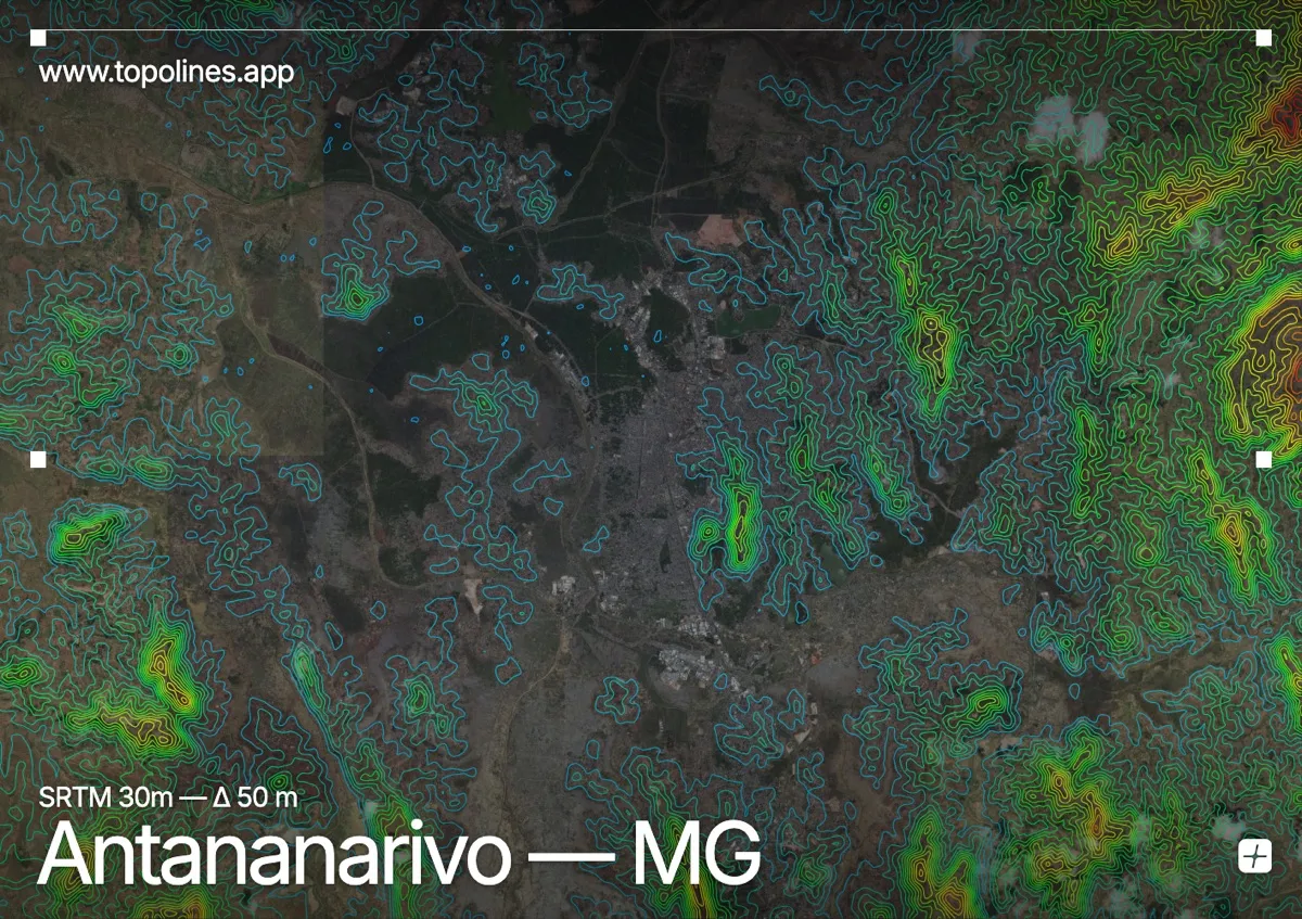
Antananarivo climbs across a cluster of steep highland ridges at around 1,280 m, its old royal quarters crowning the highest hill above the rice-paddy plains below. The Malagasy capital is a city of stairways and terraces, its form dictated by the ridges it is built on.
The central hill of Analamanga carries the Rova palace at nearly 1,470 m, ringed by further ridges and spurs that the city spreads over, while the flat, flooded Ikopa plain and its paddies fill the lower ground between them. On the map the built ridges read as a knot of tightly contoured high ground standing above the broad, level expanse of the surrounding rice plains.
How this map was made
Every contour line traces a constant elevation drawn from the public GEDTM30 30 m bare-earth terrain model, extracted with a marching-squares algorithm at a 50 m interval and coloured by height — cool blues in the valley climbing to warm reds on the summits. The satellite base layer and the contours share the same Web Mercator projection, so the lines fall exactly on the ground they describe.
You can regenerate this exact view — and change the interval, colours, resolution or export it as a print-ready SVG — directly in the TopoLines editor.