Topographic map
of Ålesund
Møre og Romsdal, Norway — 100 m contours over bare-earth elevation data.
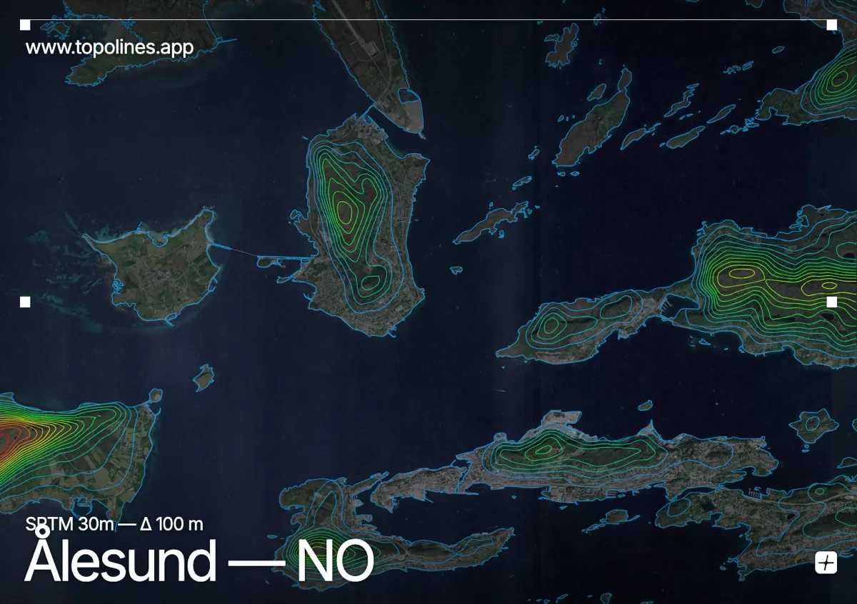
Ålesund spreads across a cluster of low islands at the mouth of the Storfjord, its art-nouveau centre backed by the jagged Sunnmøre Alps. The town hugs the water while the peaks rise sharply just inland, one of the most dramatic coastal settings in western Norway.
The viewpoint hill of Aksla rises directly above the old town, the island of Godøya breaks the seaward edge, and the Sunnmøre Alps — the Sunnmørsalpane — climb past 1,500 m only a short way inland behind the fjords. On the map the built islands and skerries read as a scatter of low ground threaded by water, abruptly bounded by the dense contours of the alpine front to the east.
How this map was made
Every contour line traces a constant elevation drawn from the public GEDTM30 30 m bare-earth terrain model, extracted with a marching-squares algorithm at a 100 m interval and coloured by height — cool blues in the valley climbing to warm reds on the summits. The satellite base layer and the contours share the same Web Mercator projection, so the lines fall exactly on the ground they describe.
You can regenerate this exact view — and change the interval, colours, resolution or export it as a print-ready SVG — directly in the TopoLines editor.