Topographic map
of Ajaccio
Corse, France — 50 m contours over bare-earth elevation data.
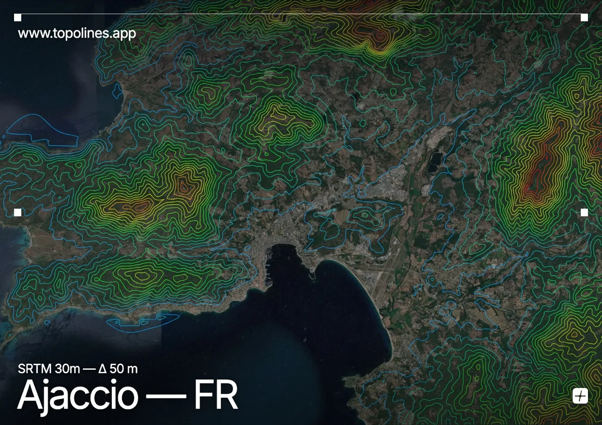
Ajaccio, Napoleon's birthplace, curves around the head of a wide gulf on Corsica's west coast, backed by the granite hills of the island's mountainous interior. The Gulf of Ajaccio is framed by ridges that rise steadily from the shoreline toward Corsica's high spine.
Monte Gozzi and the granite crests behind the city climb toward 1,000 m, with the Îles Sanguinaires trailing off the southern headland into the sea. Short maquis-covered valleys drain to the gulf. On the map the sweeping curve of the bay reads as open water framed by contours that tighten inland toward the crystalline peaks of central Corsica.
How this map was made
Every contour line traces a constant elevation drawn from the public GEDTM30 30 m bare-earth terrain model, extracted with a marching-squares algorithm at a 50 m interval and coloured by height — cool blues in the valley climbing to warm reds on the summits. The satellite base layer and the contours share the same Web Mercator projection, so the lines fall exactly on the ground they describe.
You can regenerate this exact view — and change the interval, colours, resolution or export it as a print-ready SVG — directly in the TopoLines editor.