Topographic Map of Rauris
Salzburg, Austria · 47.2286° N · 12.9941° E
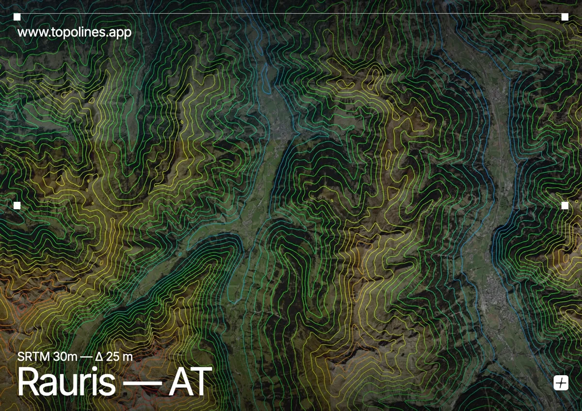
Rauris occupies a broad glacial trough in the heart of the Hohe Tauern national park, where steep limestone and gneiss walls rise sharply from a wide valley floor. The contour lines here read as a striking corridor of tightly packed curves that gradually open into gentle, sweeping loops along the river plain. This dramatic transition from narrow gorge to expansive basin makes the area an ideal study in alpine valley formation.
The terrain around Rauris
Rauris lies in the Raurisertal, a deep north–south valley on the Rauriser Ache at the northern rim of the Hohe Tauern. Steep forested walls rise on both sides toward high ridgelines, packing the contour lines into dense bands that trace the valley's confinement. To the south the valley climbs steadily toward the peaks of the Goldberg Group, where the contours crowd together as the terrain steepens into the high range. Near the town the floor widens into open pastures and terraced slopes, and the lines spread into broad, gentle arcs. This sharp alternation between a tight glacial trough and its surrounding heights makes the relief read clearly across the map.
How this map was made
Every contour line traces a constant elevation drawn from the public GEDTM30 30 m bare-earth terrain model, extracted with a marching-squares algorithm at a 25 m interval and coloured by height — cool blues in the valley climbing to warm reds on the summits. The satellite base layer and the contours share the same Web Mercator projection, so the lines fall exactly on the ground they describe.
You can regenerate this exact view — and change the interval, colours, resolution or export it as a print-ready SVG — directly in the TopoLines editor.