Topographic Map of Niimi
Okayama Prefecture, Japan · 34.9776° N · 133.4704° E
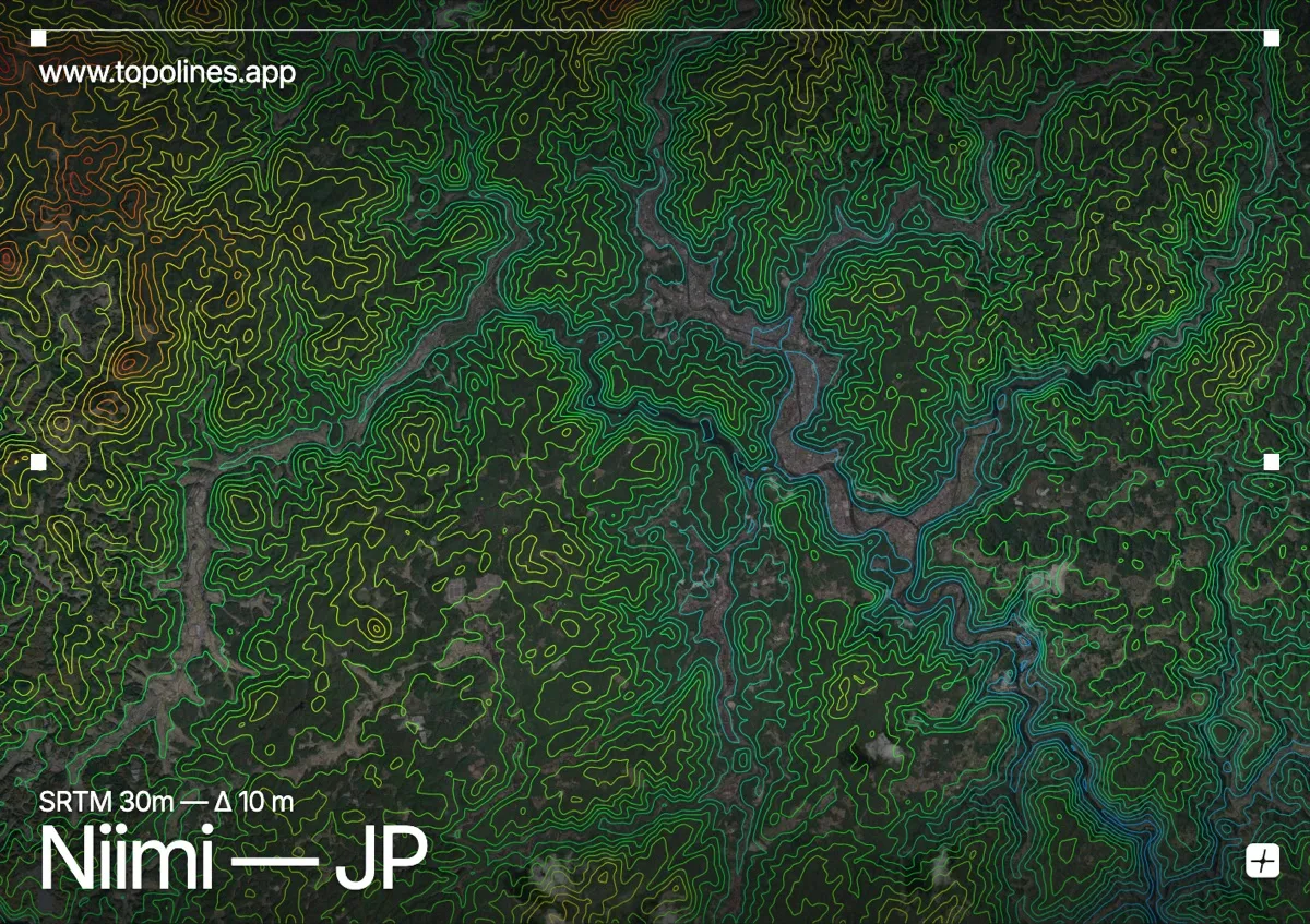
Niimi occupies a mountainous sector of northern Okayama Prefecture, nestled within the broader Chūgoku highlands. The landscape is defined by deeply incised valleys and forested ridgelines that create a complex tapestry of elevation changes. Contour lines across this area would read as tightly clustered bands along the steep slopes, gradually loosening only where narrow alluvial floors trace the local waterways.
The terrain around Niimi
The Bitchū Mountains dominate the immediate surroundings, their weathered slopes forming a continuous chain of rounded summits and sharp escarpments. Narrow river valleys cut transversely through these ranges, carving deep channels that force contour lines into dense, parallel arrays before opening into broader floodplains. To the east and west, the terrain gradually descends toward the wider Okayama basin, where the relief softens into rolling foothills and agricultural terraces. Forest cover remains extensive across the steeper gradients, further obscuring the bedrock while accentuating the subtle undulations visible in the topographic shading. Every major drainage line follows a consistent alignment, reflecting the underlying structural grain of the Chūgoku Mountains.
How this map was made
Every contour line traces a constant elevation drawn from the public GEDTM30 30 m bare-earth terrain model, extracted with a marching-squares algorithm at a 10 m interval and coloured by height — cool blues in the valley climbing to warm reds on the summits. The satellite base layer and the contours share the same Web Mercator projection, so the lines fall exactly on the ground they describe.
You can regenerate this exact view — and change the interval, colours, resolution or export it as a print-ready SVG — directly in the TopoLines editor.