Topographic Map of L'Alpe d'Huez
Auvergne-Rhône-Alpes, France · 45.0924° N · 6.0699° E
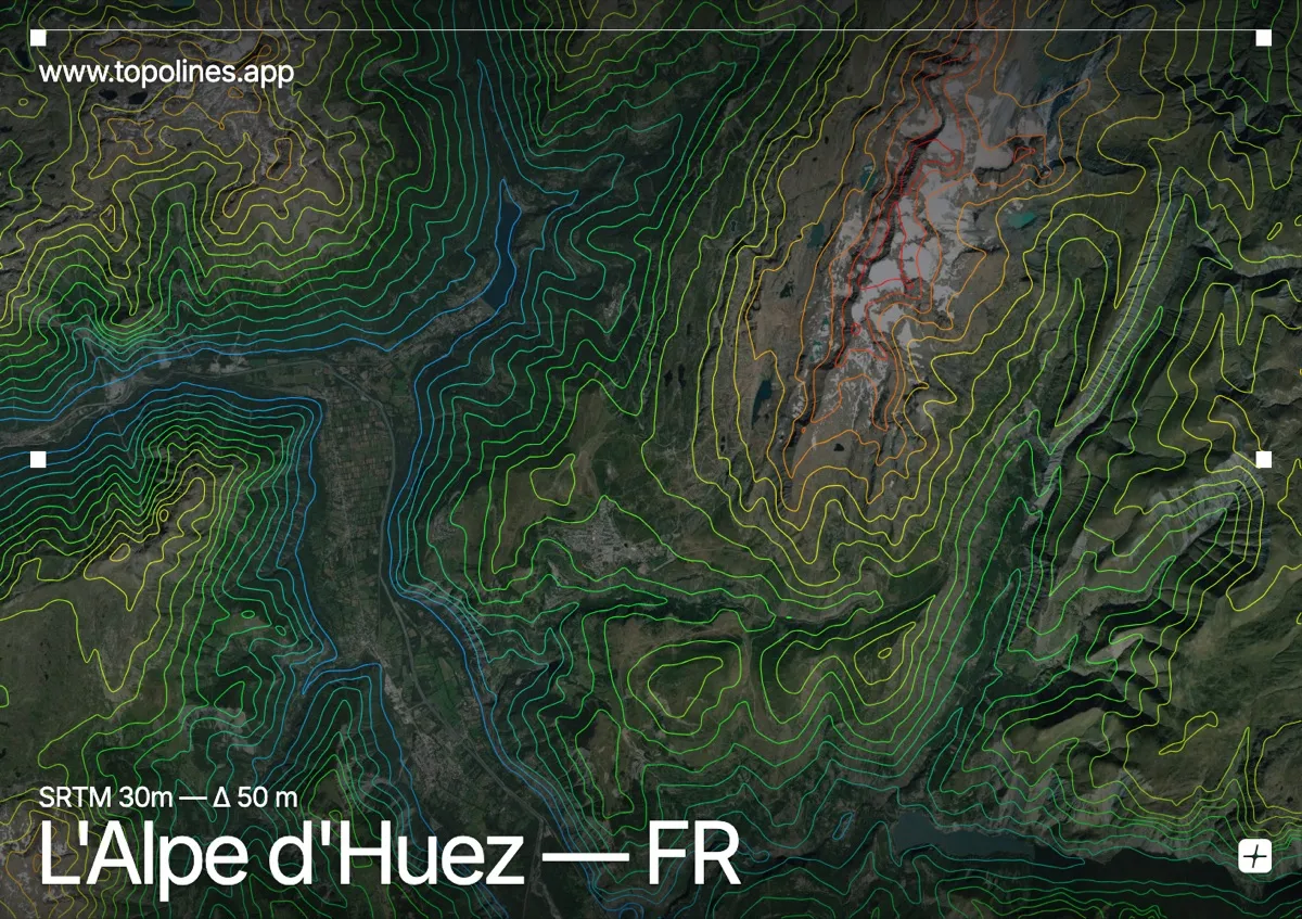
L'Alpe d'Huez sits on a high south-facing balcony in the Oisans, part of the Dauphiné Alps, looking across to the Grandes Rousses and the peaks of the Écrins. The resort shelf stands far above the Romanche valley floor, so a contour map of the area climbs almost two vertical kilometres from the river to the summits. The abrupt jump from valley trough to high crystalline peaks makes the relief read with unusual clarity.
The terrain around L'Alpe d'Huez
L'Alpe d'Huez rises on a sunlit shoulder above the Romanche valley in the Oisans, facing the peaks of the Grandes Rousses. The resort plateau sits high above the valley floor at Bourg-d'Oisans, so the contour lines climb steeply from the river before easing across the open shelf where the town sits. To the east the Grandes Rousses lift toward the Pic Blanc in dense, tightly packed bands of rock and glacier. Southward the high summits of the Écrins massif close the horizon, their steep fronts crowding the contours together. The Romanche valley cuts a deep trough below, where the lines open into broad arcs along the river before rising again to the surrounding walls.
How this map was made
Every contour line traces a constant elevation drawn from the public GEDTM30 30 m bare-earth terrain model, extracted with a marching-squares algorithm at a 50 m interval and coloured by height — cool blues in the valley climbing to warm reds on the summits. The satellite base layer and the contours share the same Web Mercator projection, so the lines fall exactly on the ground they describe.
You can regenerate this exact view — and change the interval, colours, resolution or export it as a print-ready SVG — directly in the TopoLines editor.