Topographic Map of Knjaževac
Central Serbia, Serbia · 43.5675° N · 22.2557° E
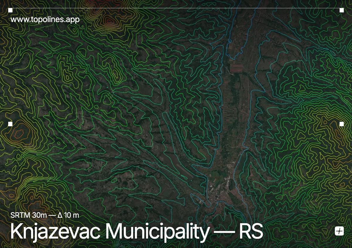
The Timok River valley forces contour lines into tight clusters that gradually widen across the floodplain. Knjaževac reveals this transition through alternating ridges and broad depressions.
The terrain around Knjaževac
The settlement rests within a broad river valley that cuts eastward through the region. Surrounding lowlands gradually rise into the forested slopes of the Kučaj mountains to the west. Steeper ridges and deep gorges define the southern boundary where the Stara Planina descends toward the valley floor. These elevated formations channel seasonal runoff into the central drainage network. The interplay between the flat valley floor and the steep flanks produces a highly dissected landscape.
How this map was made
Every contour line traces a constant elevation drawn from the public GEDTM30 30 m bare-earth terrain model, extracted with a marching-squares algorithm at a 10 m interval and coloured by height — cool blues in the valley climbing to warm reds on the summits. The satellite base layer and the contours share the same Web Mercator projection, so the lines fall exactly on the ground they describe.
You can regenerate this exact view — and change the interval, colours, resolution or export it as a print-ready SVG — directly in the TopoLines editor.