Topographic Map of Cortina d'Ampezzo
Veneto, Italy · 46.5685° N · 12.1323° E
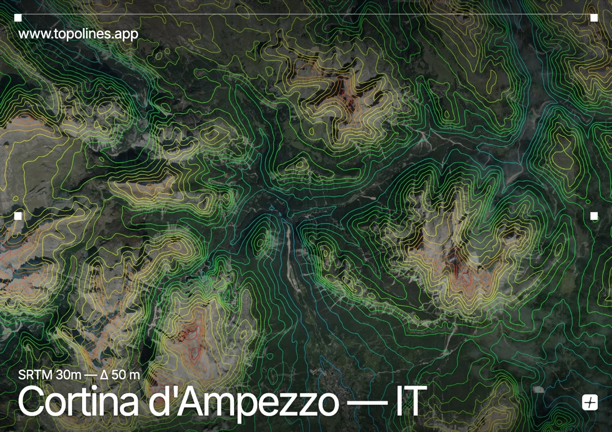
Cortina d'Ampezzo occupies a high Alpine basin nestled within the eastern Dolomites, where steep limestone ridges enclose a broad valley floor. The contour lines converge sharply along the surrounding escarpments before spreading into gentle, terraced patterns across the settlement and meadows. This dramatic contrast between vertical relief and open topography makes the area a striking study in mountain cartography.
The terrain around Cortina d'Ampezzo
The town sits at the head of the Boite River valley, which carves a winding path through the basin before continuing eastward toward the plains. To the west, the Tofane massif rises in a continuous wall of pale rock, its steep faces forcing the contour lines into tight, parallel bands. The Tre Cime di Lavaredo and Croda da Lago dominate the northern skyline, presenting jagged, irregular peaks that break the horizon with sharp relief. Further south, the Pelmo and Sorapiss massifs frame the valley with massive, sloping limestone plateaus that gradually descend into forested slopes. Across the mapped area, the contours pack densely against these towering fronts while opening into wide, spaced intervals over the river terraces and alpine pastures.
How this map was made
Every contour line traces a constant elevation drawn from the public GEDTM30 30 m bare-earth terrain model, extracted with a marching-squares algorithm at a 50 m interval and coloured by height — cool blues in the valley climbing to warm reds on the summits. The satellite base layer and the contours share the same Web Mercator projection, so the lines fall exactly on the ground they describe.
You can regenerate this exact view — and change the interval, colours, resolution or export it as a print-ready SVG — directly in the TopoLines editor.