Topographic Map of Auronzo di Cadore
Veneto, Italy · 46.5512° N · 12.4430° E
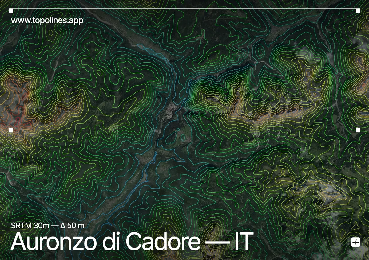
Auronzo di Cadore sits at a strategic junction where the Piave and Boite rivers carve through the heart of the eastern Dolomites. The town occupies a relatively narrow valley floor that quickly gives way to towering limestone walls, making the contour lines here exceptionally dynamic. Steep escarpments and deep glacial cirques surround the settlement, creating a striking contrast between tightly packed elevation bands and the open river corridors.
The terrain around Auronzo di Cadore
The Sexten Dolomites rise prominently to the east, their jagged ridgelines forcing the contour lines into dense, irregular clusters. To the northeast, the iconic peaks of the Tre Cime di Lavaredo dominate the skyline, their sheer faces producing tightly packed contour lines that plunge into shadowed gullies. Monte Cristallo anchors the eastern horizon with a broad, heavily fractured massif that channels meltwater down steep scree slopes. Westward, the terrain opens into the Piave valley, where the contour lines spread out into wide, gentle arcs before tightening again along the Boite gorge. This interplay of narrow river corridors and towering alpine walls creates a highly legible topographic pattern across the region.
How this map was made
Every contour line traces a constant elevation drawn from the public GEDTM30 30 m bare-earth terrain model, extracted with a marching-squares algorithm at a 50 m interval and coloured by height — cool blues in the valley climbing to warm reds on the summits. The satellite base layer and the contours share the same Web Mercator projection, so the lines fall exactly on the ground they describe.
You can regenerate this exact view — and change the interval, colours, resolution or export it as a print-ready SVG — directly in the TopoLines editor.