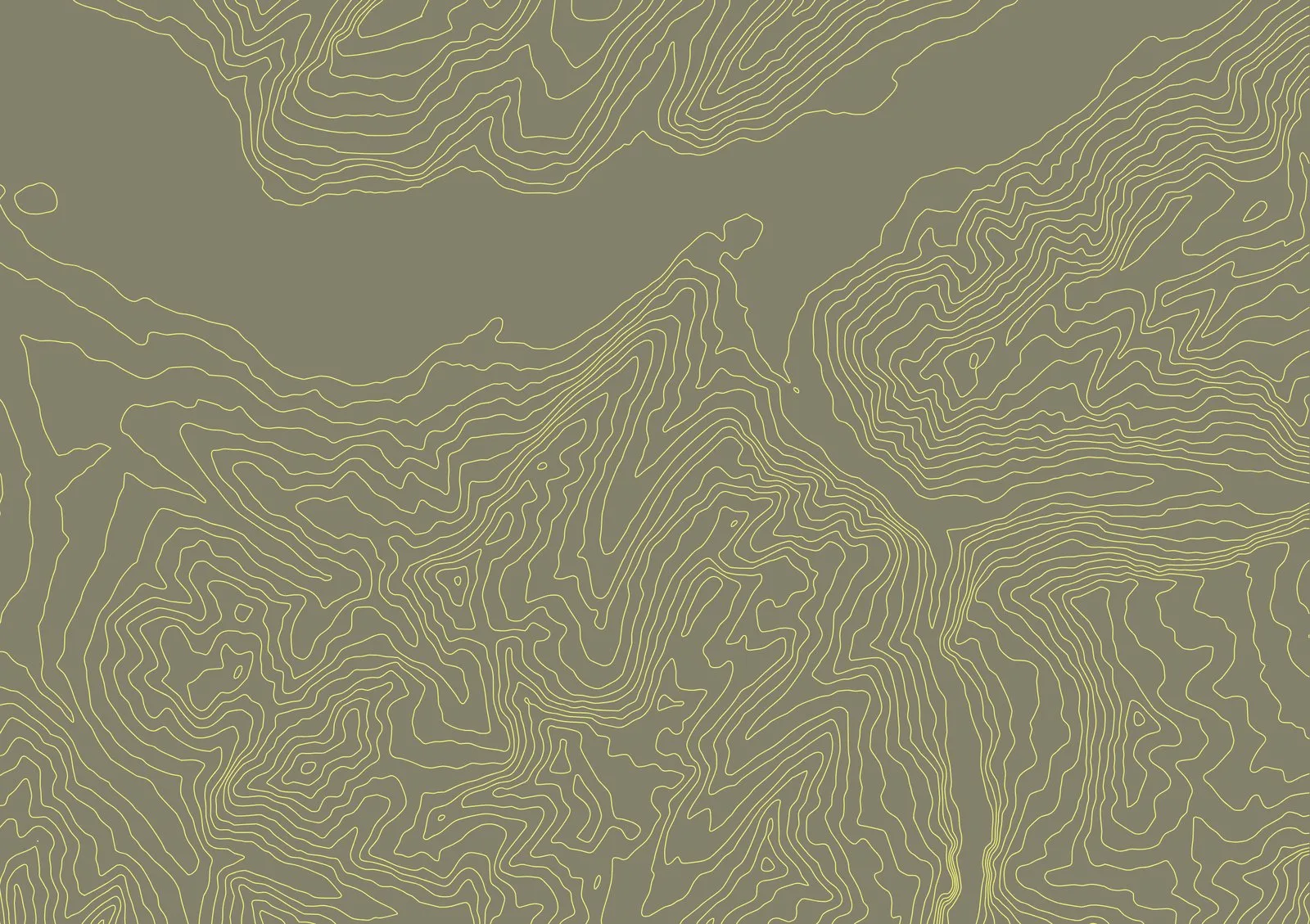
A single-color contour map is clean, but it hides one thing your data already knows: height. With elevation gradients, every line is colored by its real altitude — so valleys, ridges, and summits read instantly.
From flat to legible
Pick the gradient stroke mode, choose your stops, and TopoLines colors each contour by its baked elevation value. Lowlands fade into highlands across a smooth ramp you control.
Make it your palette
- Start from a preset, or build your own stops
- Reverse the ramp to flip the reading
- Tune opacity per stop for subtle depth
Gradient strokes are a Pro feature — one credit pack unlocks them, and your credits never expire.